
Open (IFCN list updated 2 Oct 2026); IFCN notes that the section between the Pico Ruivo shelter and the summit is fully passable. Official IFCN list →
Vereda do Pico Ruivo
The shortest way to Madeira's highest summit — 2.8 km each way from Achada do Teixeira — suited to most reasonably fit walkers; the one thing to know is that it still needs a SIMplifica booking.
- Distance
- 2.8 km
- Time
- 1 h 30 min
- Difficulty
- Moderate
- Route
- Out and back
Map and elevation
The GPX track and elevation profile will appear here once we have walked and recorded it.
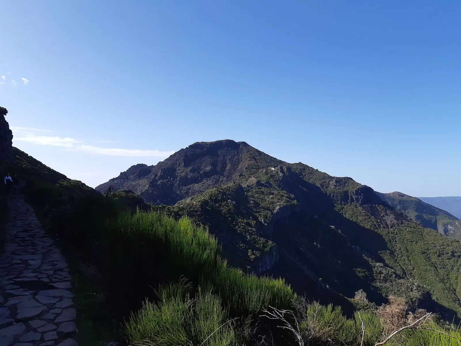
PR 1.2 Vereda do Pico Ruivo is the short route to Pico Ruivo (1,862 m), the highest point on Madeira. It climbs 2.8 km from Achada do Teixeira, above Santana, to the summit; you return the same way, so the walk totals 5.6 km. The official IFCN panel gives 1 h 30 for the 2.8 km, a low point of 1,592 m and a high point of 1,862 m, and Visit Madeira rates it moderate.
Why choose PR 1.2 over PR 1?
It reaches the same summit as PR 1 Vereda do Areeiro with far less effort and logistics. Since May 2026 PR 1 is one-way beyond Pedra Rija, so walkers who start at Pico do Areeiro must descend by another trail — and PR 1.2 is one of the two official exits. In practice that means PR 1.2 carries walkers in both directions: day hikers going up, and PR 1 hikers coming down.
The two trails can also be combined on one ticket. The full PR 1 ticket (€10.50 in 2026) includes PR 1.2. Walked on its own, PR 1.2 costs €4.50 for visitors over 12.
How do I book and what does it cost?
Every walker, including exempt residents and children aged 12 or under, must book an entry slot on the SIMplifica portal; bookings are not made at IFCN offices. In 2026 a single trail costs €4.50. If you walk two or more classified trails in one day (excluding PR 1), the system applies the €9.00 one-day rate automatically. Details: trail booking and fees.
What is the path like?
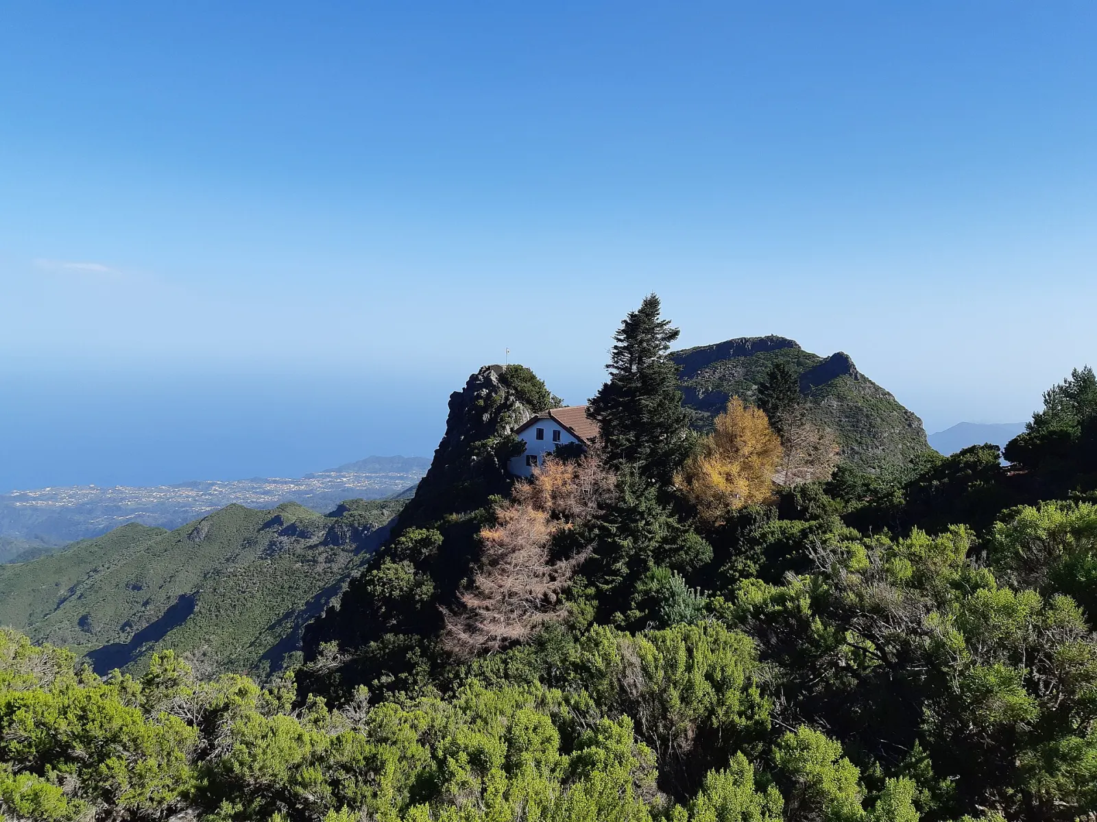
The panel describes several shelters along the climb, because conditions at this height change suddenly and the area is often covered in cloud. Near the top is the Casa de Abrigo do Pico Ruivo, a shelter renovated in 2019 with running water, toilets and food service according to Wikipedia. From the shelter a final stretch leads to the summit, which IFCN currently reports as fully passable.
At the start, past the Achada do Teixeira shelter, look for the Homem em Pé ("Standing Man"), a basalt formation in the slope described on the IFCN panel.
What can I see from the top?
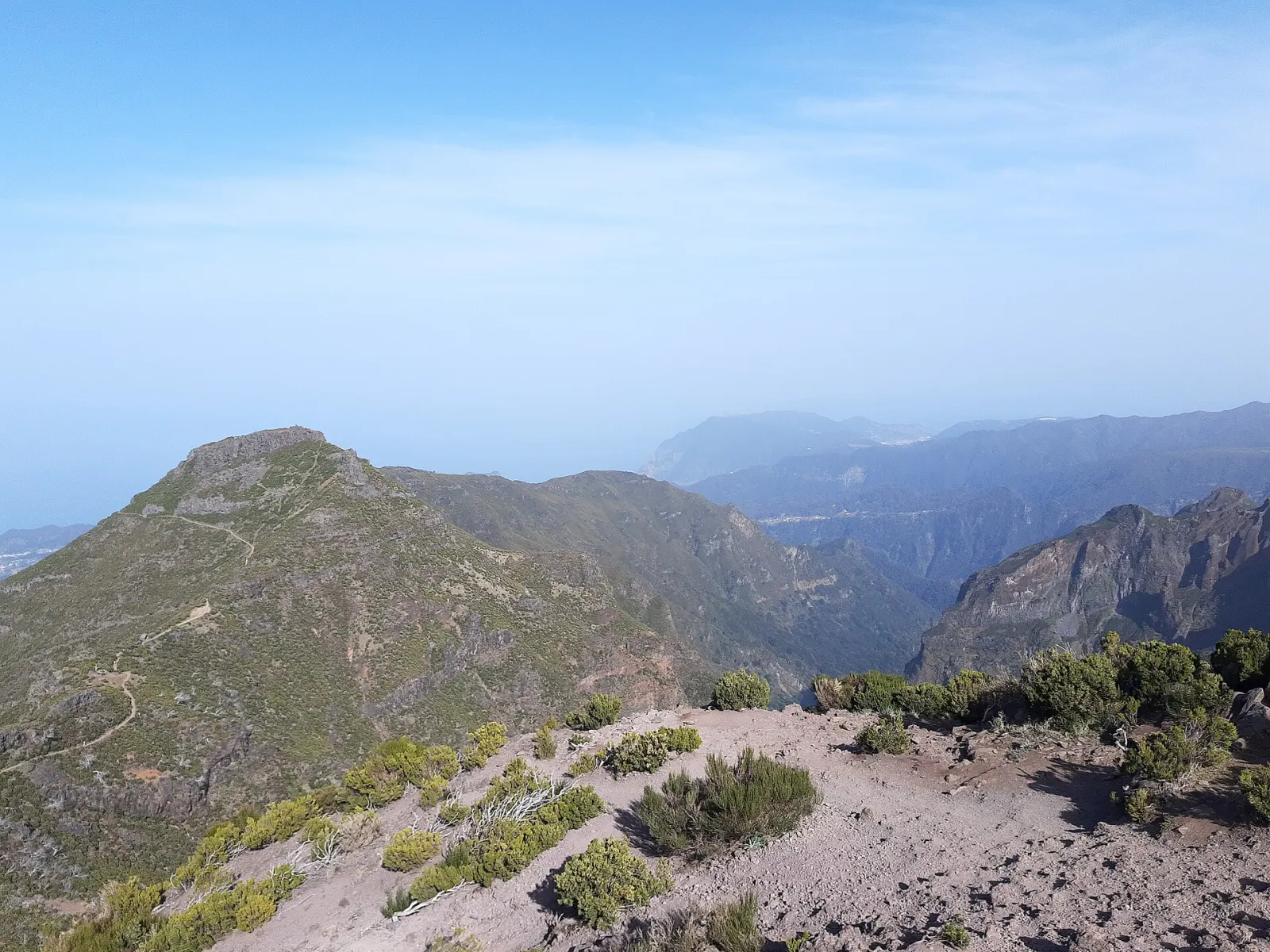
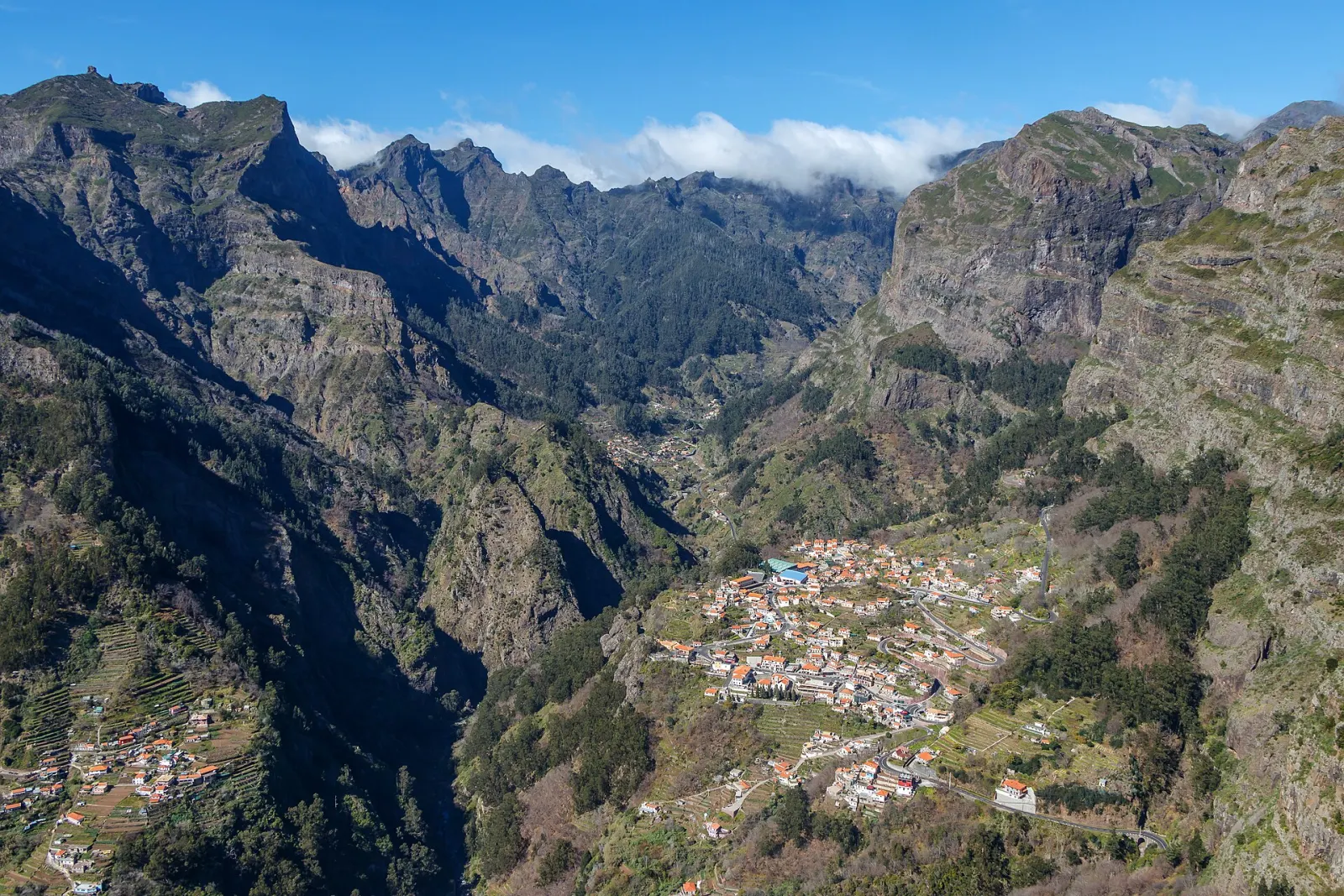
On clear days the panel lists views over Curral das Freiras, Ponta de São Lourenço, the Desertas Islands and Porto Santo. The surrounding high-altitude heath is home to birds such as the Madeira firecrest, chaffinch and linnet.
Where do the other trails go from the shelter?
- PR 1 to Pico do Areeiro (6.1 km) — currently one-way towards Pico Ruivo past Pedra Rija, so you cannot walk it from this end.
- PR 1.1 Vereda da Ilha down to the village of Ilha (8.2 km).
- PR 1.3 Vereda da Encumeada west towards Encumeada (11.2 km); IFCN reports it open only as far as Boca das Torrinhas, where PR 2 continues to Curral das Freiras or Boaventura.
What people misjudge
- Cloud and cold. The IFCN panel's only warning is that the weather changes often — bring a warm layer even in summer.
- The final metres. The steepest climbing is at the end, between the shelter and the summit (see the official altitude profile).
- Light. IFCN asks walkers to confirm they can finish before dark.
Nearby
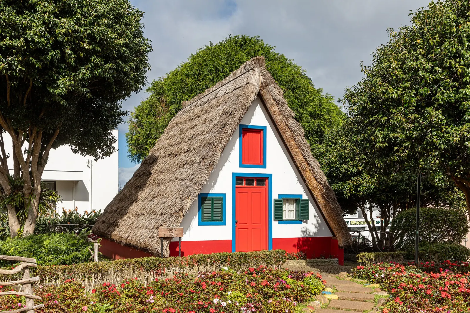
Down in Santana, the thatched houses are an easy add-on. More routes in the mountains region.
The route, step by step
- 1 Achada do Teixeira car parkStart at the end of the road above Santana (ER 218 on the IFCN map), where the official panel stands.
- 2 Homem em PéJust past the Achada do Teixeira shelter, the basalt 'Standing Man' formation is visible in the slope.
- 3 Shelters on the climbSeveral small shelters line the path — useful when cloud or rain moves in.
- 4 Casa de Abrigo do Pico RuivoThe shelter near the top; junction with PR 1, PR 1.1 and PR 1.3.
- 5 Pico Ruivo summit (1,862 m)The final steep section leads to the summit; return the same way to Achada do Teixeira.
Before you go
Make a day of it
Within 11 km of the trailhead.
Sources and fact-checking
Facts checked against the sources below on 28 October 2026. How we work
- IFCN — Percursos Pedestres Classificados (official list, distances and status, updated 2 Oct 2026)
- IFCN — Percursos pedestres: avisos (trail notices, updated 14 Sep 2026)
- IFCN — FAQ: fees and booking for classified walking routes (2026)
- IFCN — PR 1.2 Vereda do Pico Ruivo (official trail panel)
- Visit Madeira — PR 1.2 Vereda do Pico Ruivo
- Wikipedia — Pico Ruivo
Photos: Asurnipal (CC BY-SA 4.0) · Asurnipal (CC BY-SA 4.0) · Gerda Arendt (CC BY-SA 4.0)