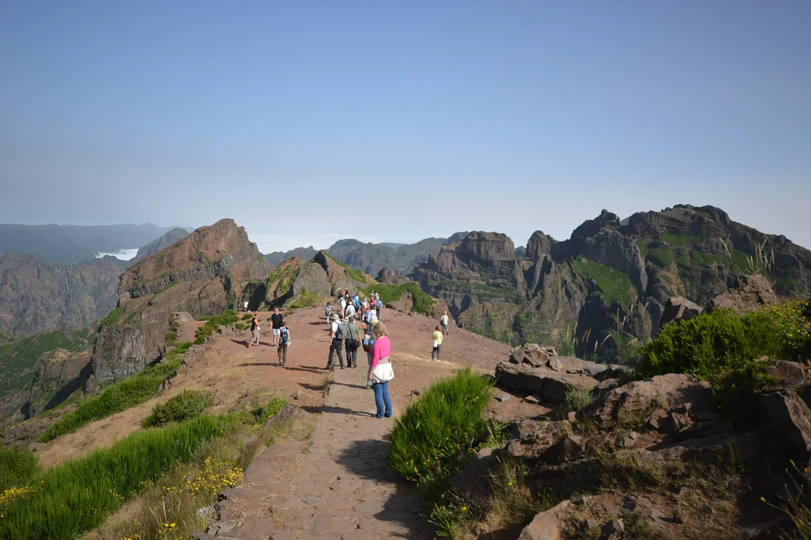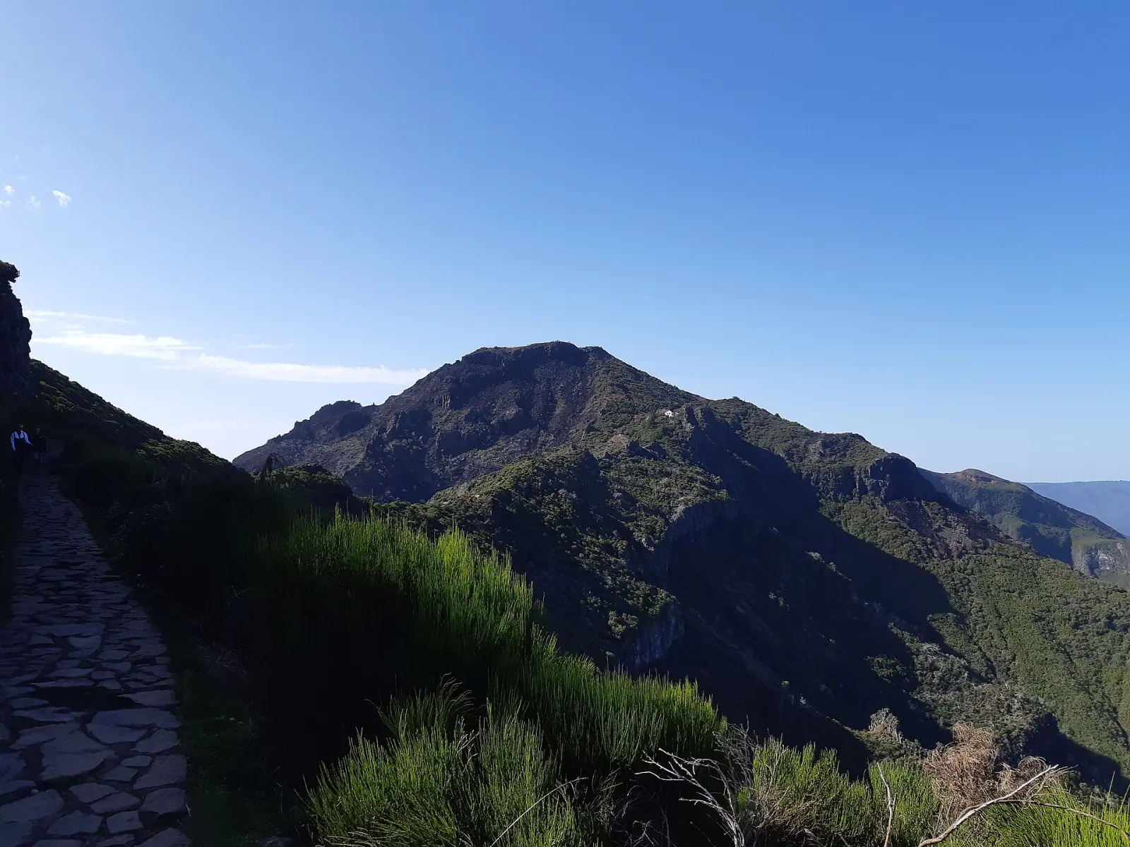
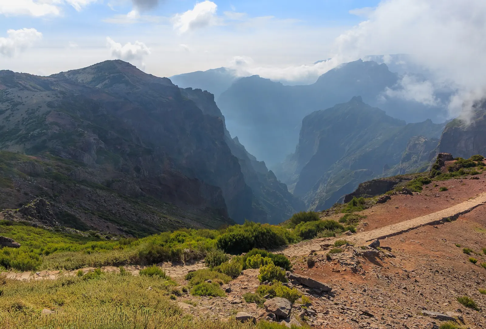
Pico do Arieiro (officially spelled Pico do Areeiro) is Madeira's third-highest peak at 1,818 m, in the island's central mountain range. Unlike the two higher summits, it can be reached by road directly from Funchal, so a car park sits just below the top. From the viewpoint you look over jagged ridges and deep valleys, and it is the start of the PR 1 trail towards Pico Ruivo.
What can you see from Pico do Arieiro?
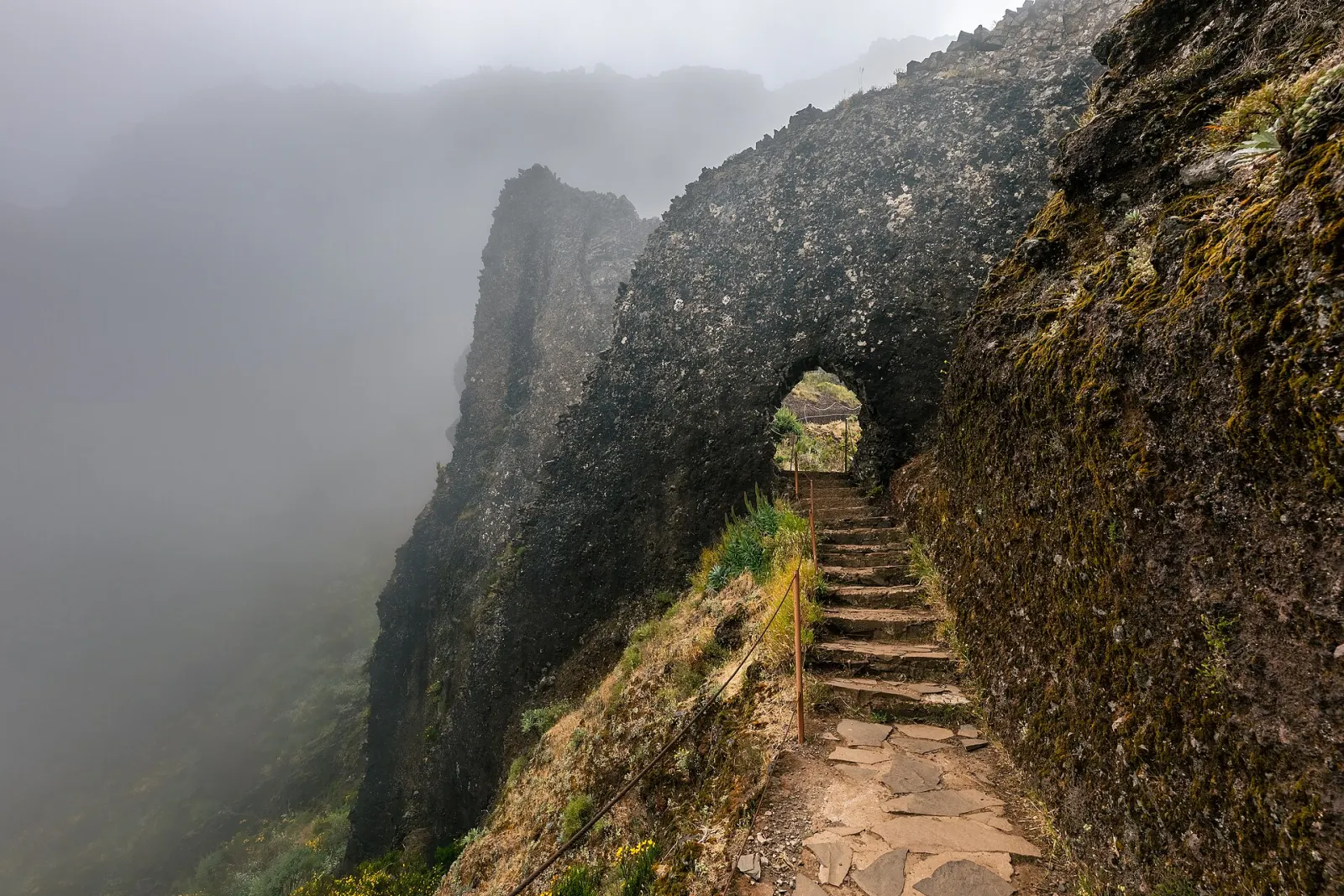
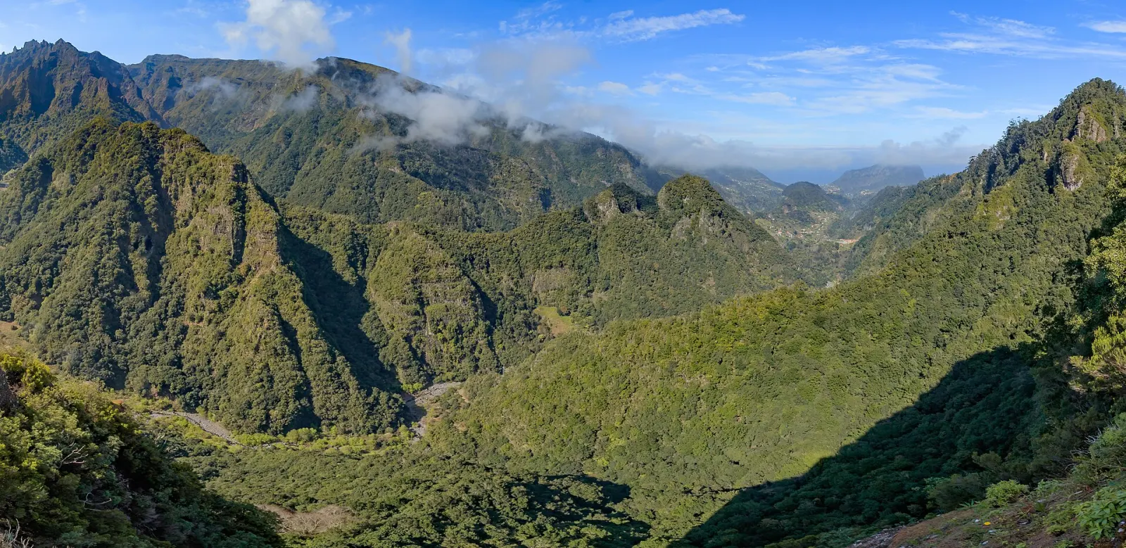
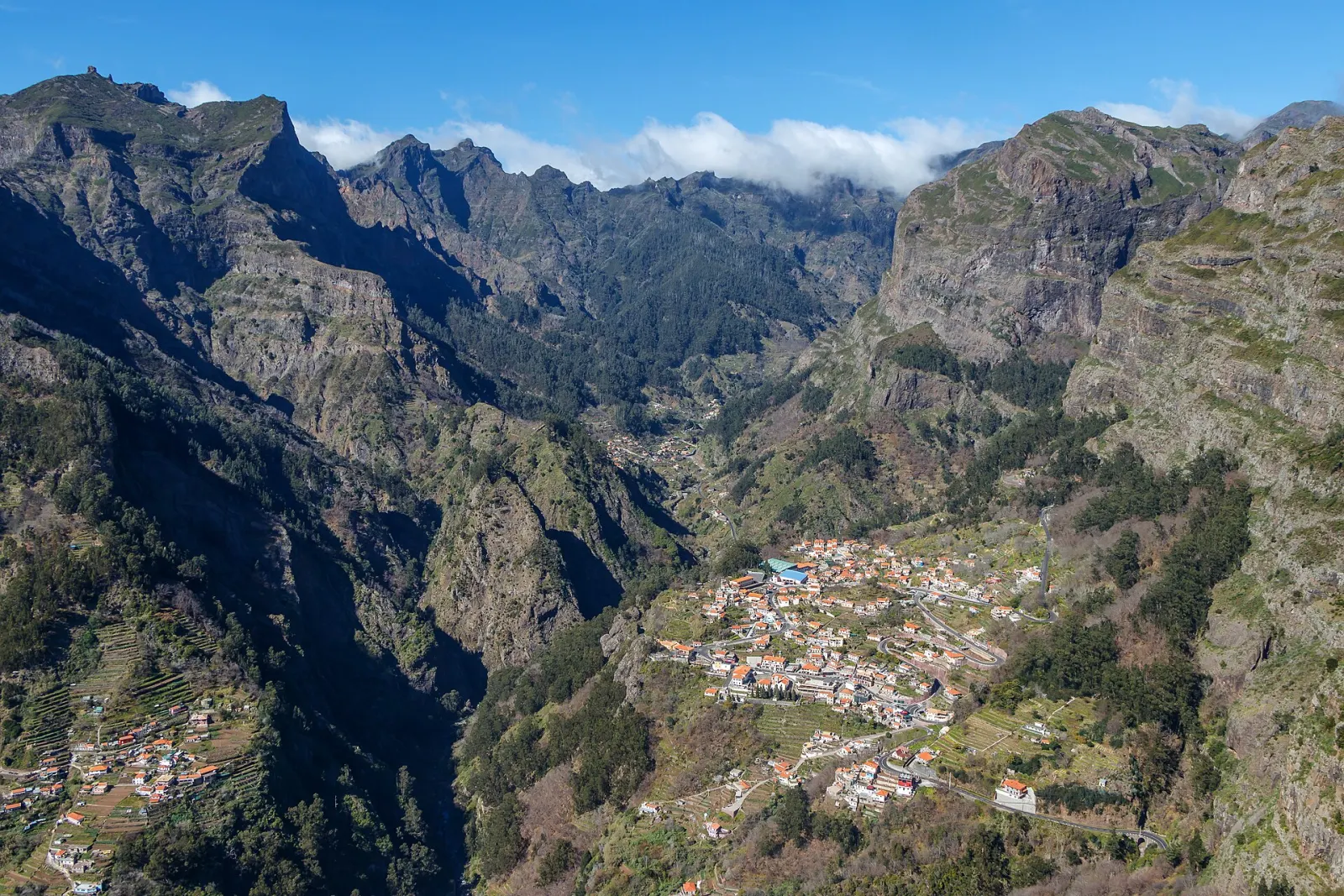
Visit Madeira describes a wide panorama of the central mountain range with the Atlantic beyond. Landmarks named by the official tourism board include Ponta de São Lourenço at the eastern tip of the island, the valley of Curral das Freiras and, on very clear days, the island of Porto Santo. The Ninho da Manta lookout, along the PR 1 trail, shows rock formations close up.
Is the sunrise worth it?
Sunrise is the visit most people plan for: when the cloud layer sits below the summit, the sun comes up over a sea of cloud. Visit Madeira notes that this depends on the weather. Wikipedia describes the area's climate as unusually wet, with much of the moisture arriving as drizzle and fog, so a clear sunrise is never guaranteed. Check a forecast or webcam the evening before and be ready to switch plans.
How cold does it get?
Much colder than the coast. A weather station at 1,610 m recorded (1961–1990) an average annual maximum of 12.1 °C, an average annual minimum of 6.0 °C, about 2,928 mm of precipitation a year and a record low of −6.0 °C. Before dawn, wind makes it feel colder still. Bring a warm layer, a windproof jacket and a torch.
Getting there and parking
- By car: the road goes directly from Funchal to the summit car park.
- Parking: Visit Madeira lists a charge of €4.00 per hour (checked October 2026).
- Facilities: Wikipedia mentions a large car park, a restaurant and a souvenir shop near the top.
- The summit also hosts a Portuguese Air Force air-defence radar station, built in 2011 next to the visitor area.
We could not verify a regular public bus to the summit; check current timetables before planning a visit without a car.
Starting the PR 1 to Pico Ruivo
The PR 1 Vereda do Areeiro leaves from here towards Pico das Torres (1,851 m) and ends at Pico Ruivo (1,862 m), the archipelago's highest point. It is a high-mountain route; read our PR 1 trail guide and the trail booking and fees page before you set off, and check the official trail status. Pico Ruivo can also be reached from the other side via PR 1.2.
What people misjudge
- Crowds: Wikipedia records up to 1,000 people a day passing through the area at peak times. Sunrise is the busiest moment.
- Altitude and edges: the viewpoint paths have drop-offs; stay on paved paths and behind railings, especially in fog.
- Changing weather: fog can roll in within minutes and hide the view; patience is often rewarded.
Nearby
On the drive up or down, the view over Curral das Freiras from Eira do Serrado is a good second stop. For more peaks and passes, see the mountains region guide.