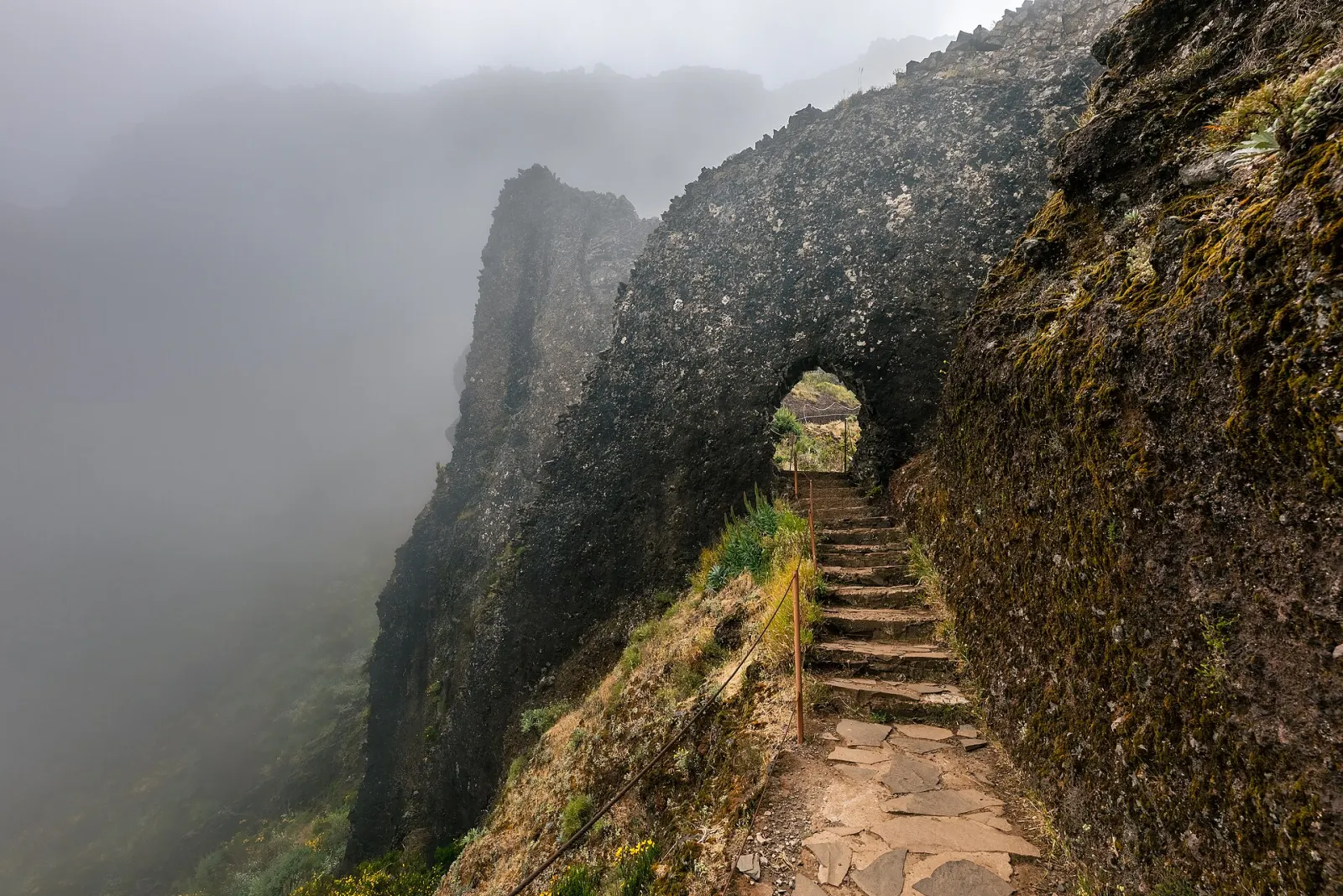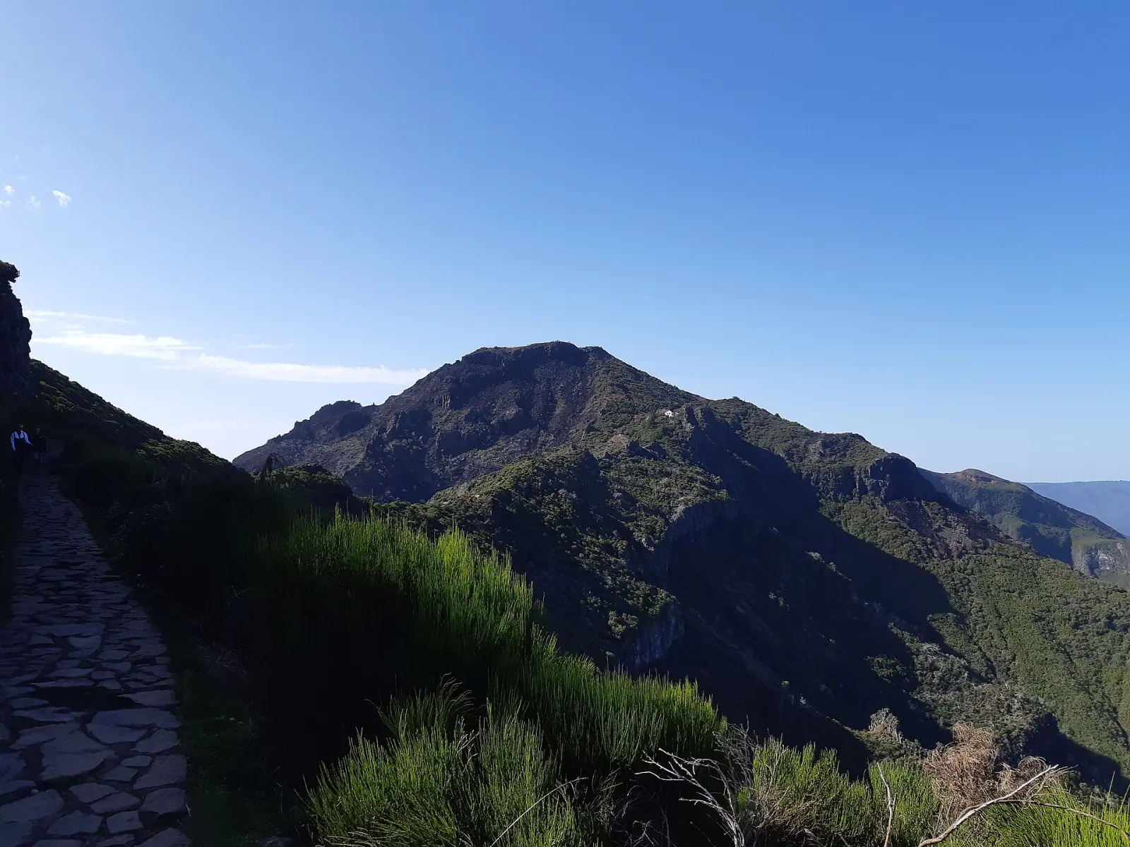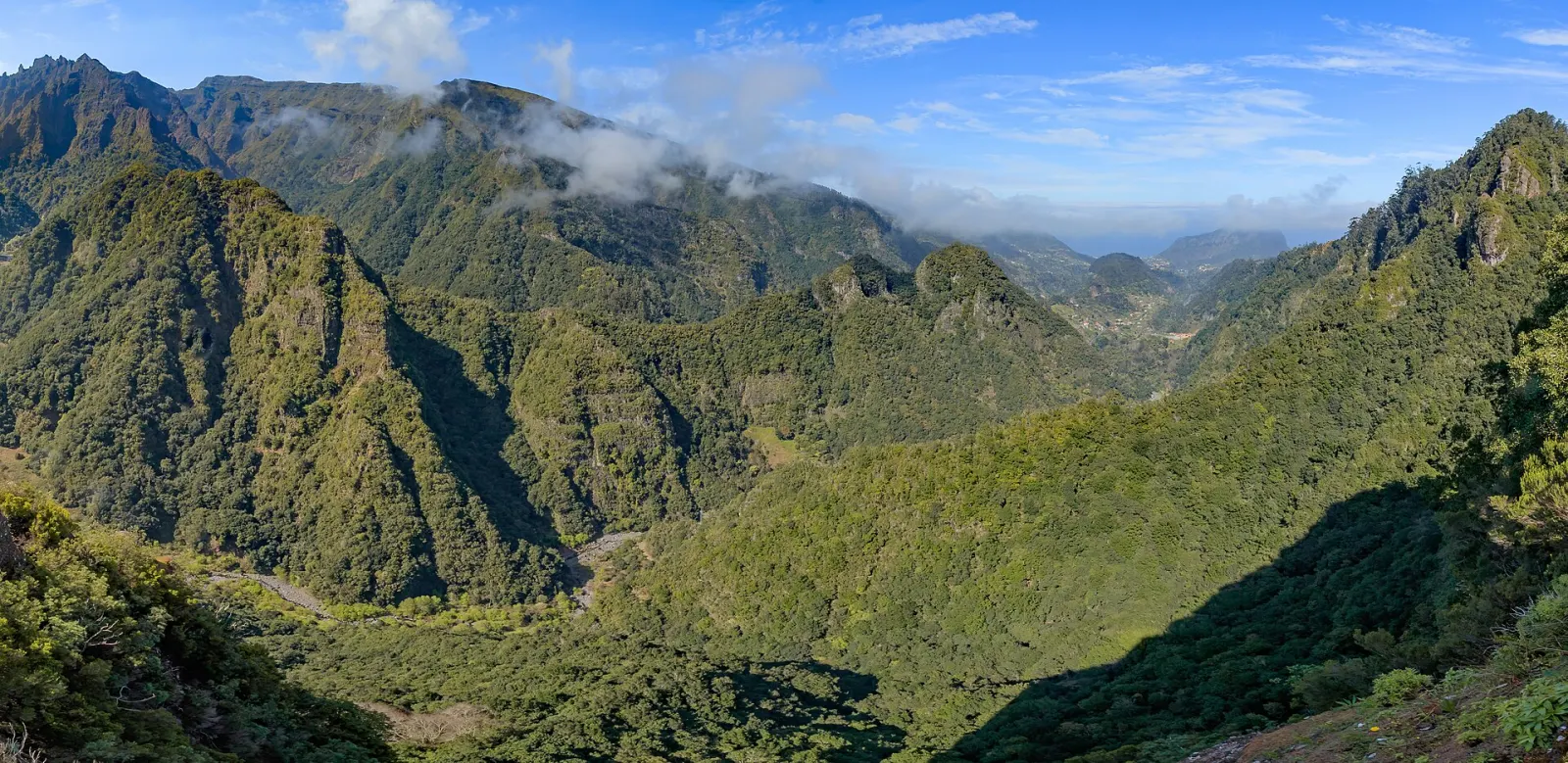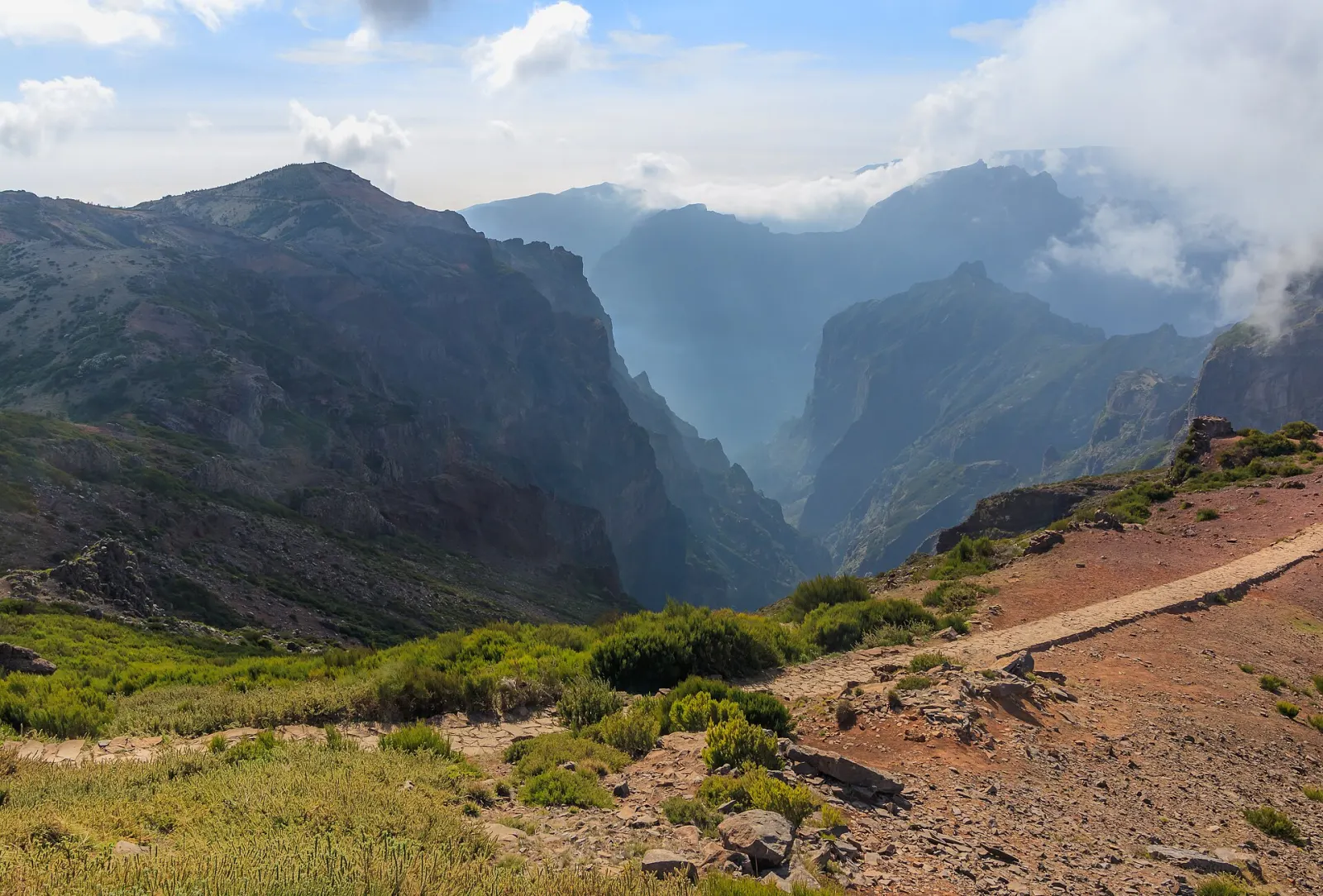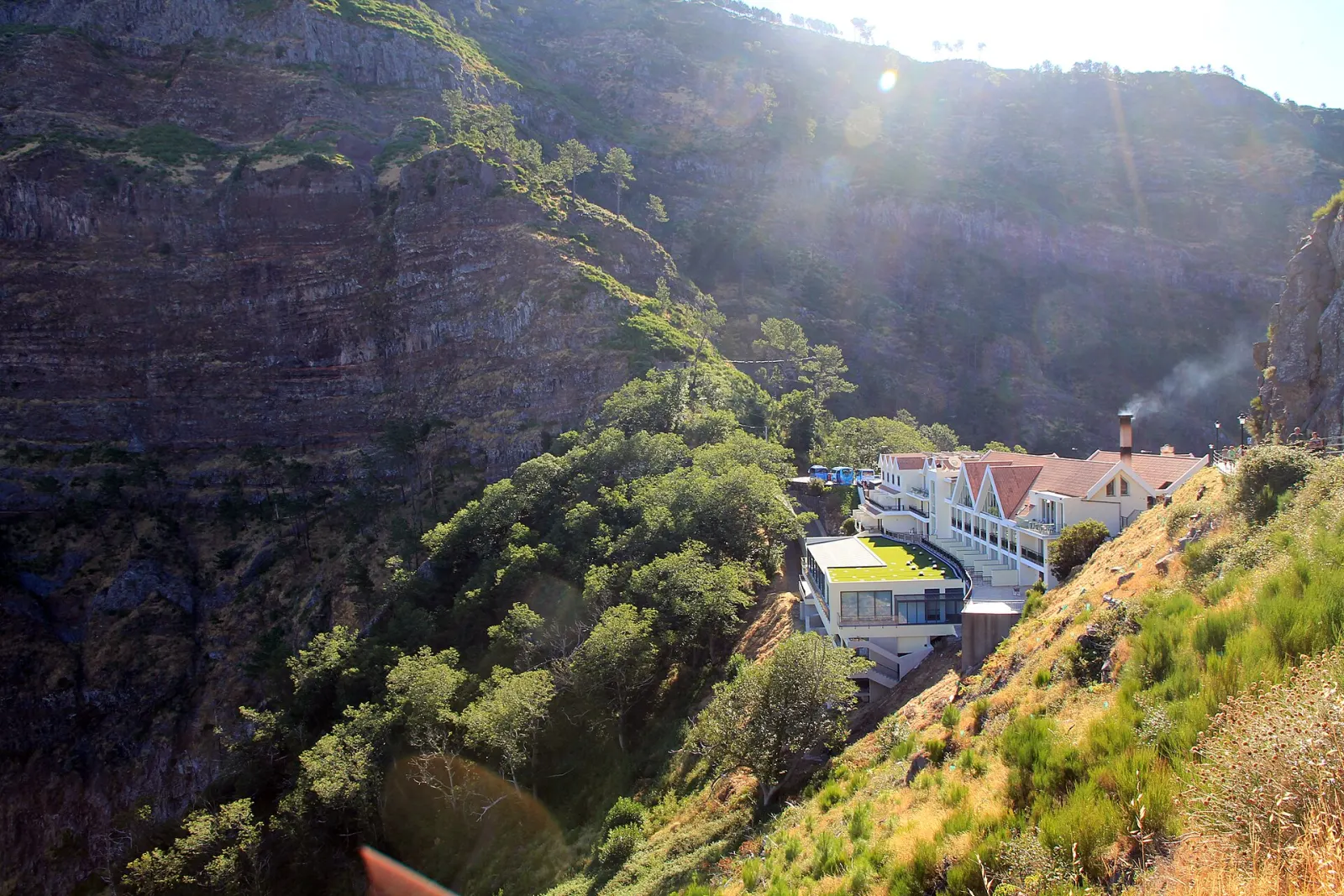
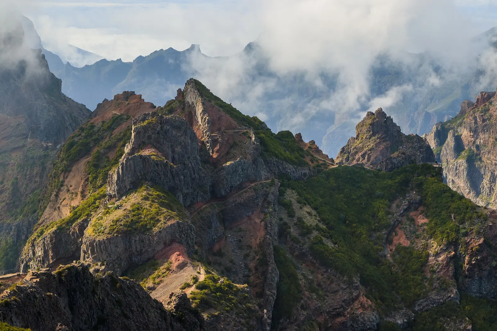
Madeira's mountains are the central massif that runs along the spine of the island, including everything above about 1,400 m. Its eastern half holds the two highest peaks, Pico Ruivo (1,862 m) and Pico do Arieiro (1,818 m), joined by one of the island's best-known ridge walks; its western half is the Paul da Serra plateau. Weather here changes faster than anywhere else on Madeira.
What defines Madeira's mountains?
According to Visit Madeira, the Central Mountain Range is a Natural Monument covering about 8,200 ha and is also classed as a Geological and High-Altitude Vegetation Reserve. It splits into two zones:
- The eastern peaks — Pico Ruivo, the highest point in the archipelago and the third highest in Portugal, and Pico do Arieiro. Pico Ruivo, in the municipality of Santana, can only be reached on foot.
- The western highlands — Paul da Serra, with Pico Ruivo do Paul (1,640 m) and Bica da Cana (1,620 m), covered on our West page.
The jagged outline comes from water eroding the softer pyroclastic rock between harder layers. The massif is the only known nesting place of the Madeira petrel (Pterodroma madeira), an endemic seabird, and high-altitude heath around Pico Ruivo is home to birds such as the Madeira firecrest.
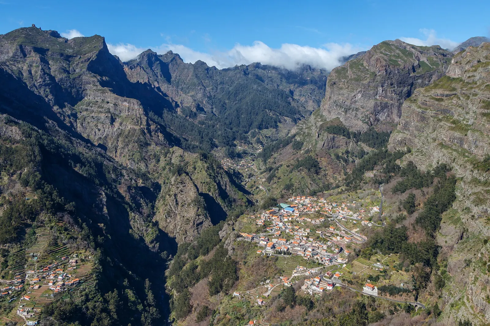
Below the peaks, two places are part of the same landscape: Curral das Freiras, a parish of Câmara de Lobos in an enclosed valley, reached since 2004 by a road tunnel and known for cherries; and Ribeiro Frio, a forested valley on the road between Funchal and the north coast.
What is there to do in the mountains?
- Pico do Arieiro. The Pico do Arieiro viewpoint can be reached by car and is the start of Vereda do Areeiro (PR 1) towards Pico Ruivo. Check its current status before you go: sections of this trail have been restricted.
- Pico Ruivo. The shortest route to the top is Vereda do Pico Ruivo (PR 1.2) from Achada do Teixeira, above Santana. The shelter below the summit was renovated in 2019 and has running water, toilets and meals.
- Balcões. Vereda dos Balcões (PR 11) at Ribeiro Frio is a short, easy walk to a viewpoint over the valleys towards the peaks.
- Eira do Serrado. The Eira do Serrado viewpoint looks straight down into Curral das Freiras.
All classified PR trails need a paid time-slot booking on SIMplifica — see trail booking and fees. Trail status changes, so check IFCN the evening before and again in the morning.
What is the weather like in the mountains?
The highest ground is the wettest part of Madeira overall: areas of the Madeira Natural Park can receive up to 2,800 mm of rain a year, and snow falls in the mountains in most winters. Summers are drier at the top — Pico do Arieiro averages only about 13 mm of rain in July — but cloud can form or lift within minutes. What visitors commonly misjudge:
- Temperature. The coast may be in the mid-20s °C while the peaks are near freezing on a winter dawn. Bring a warm layer, hat and gloves for any sunrise visit.
- Cloud inversions. Often the peaks are above the clouds when Funchal is grey — and the reverse also happens. Webcams and the IFCN status page are more useful than the view from your hotel.
- Exposure. Ridge paths have steep drops and tunnels; you will want a head torch and good shoes, and should turn back in strong wind or heavy rain.
How far are the mountains from Funchal?
Approximate road distances from central Funchal (OpenStreetMap routing): Ribeiro Frio about 19 km, Pico do Arieiro about 20 km and Encumeada about 29 km. Achada do Teixeira, the start of PR 1.2, is about 51 km away, because the road approaches it from the north via Santana.
Who is this area good for?
The mountains are day-trip territory for hikers and photographers. Funchal is the practical base for Pico do Arieiro, including sunrise visits; Santana on the north coast is closer to Achada do Teixeira. Families and non-hikers can still see the high peaks from the Arieiro and Eira do Serrado viewpoints without walking far. For a plan that builds up to the peaks, see 5 days: coast to peaks.