
IFCN lists PR 9 (Queimadas – Caldeirão Verde – Caldeirão do Inferno) as open on 28 October 2026. Official IFCN list →
Levada do Caldeirão Verde
A long, mostly level levada walk of 8.7 km each way for hikers who are steady on narrow, wet paths; bring a torch for the four tunnels before the waterfall.
- Distance
- 8.7 km
- Time
- 6 h 30 min
- Difficulty
- Moderate
- Route
- Out and back
Map and elevation
The GPX track and elevation profile will appear here once we have walked and recorded it.
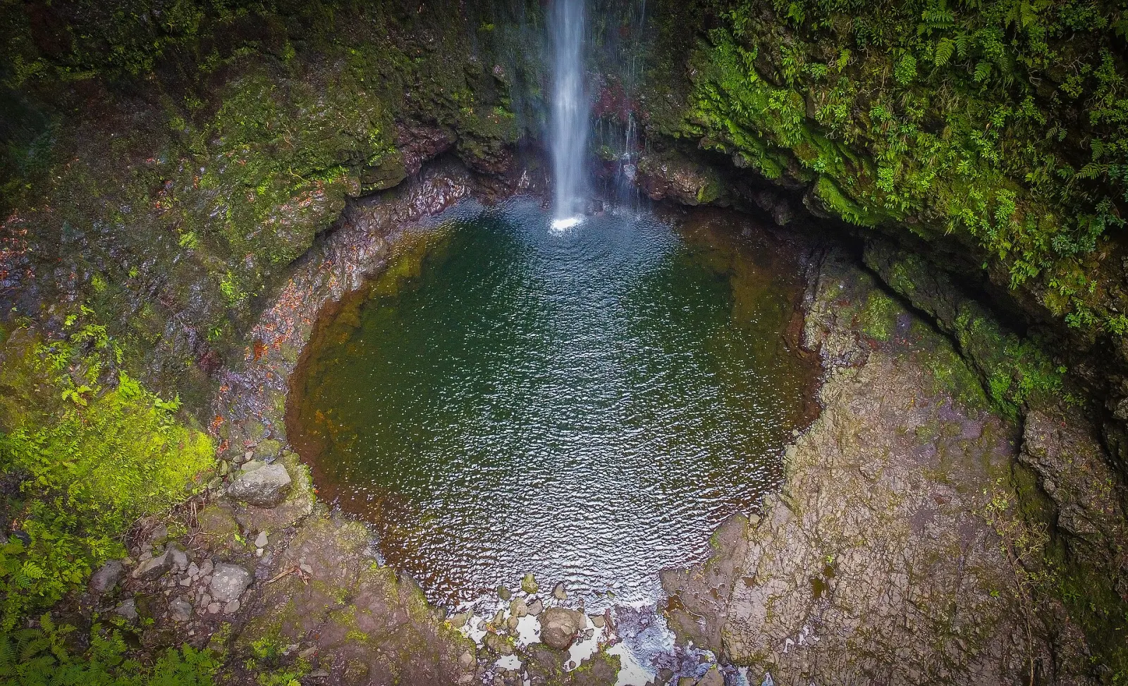
Levada do Caldeirão Verde (PR 9) is an IFCN classified trail in the municipality of Santana, on Madeira's north side. It follows an 19th-century irrigation channel from the Queimadas Forest Park through UNESCO-listed laurel forest to Caldeirão Verde, a pool fed by a waterfall of about 110 m, with an optional, harder extension to Caldeirão do Inferno. The official route is 8.7 km each way, returning on the same path.
How long is the Caldeirão Verde walk?
| Official value | |
|---|---|
| Distance | 8.7 km one way + 8.7 km return (IFCN route list, 2026) |
| Duration | 6 h 30 min (IFCN estimate) |
| Difficulty | Moderate (Visit Madeira) |
| Highest / lowest point | 1,020 m / 872 m |
| Start / end | Queimadas Forest Park / Caldeirão do Inferno |
On the IFCN profile, Caldeirão Verde is reached after about 6.5 km with a very gentle climb. The last section to Caldeirão do Inferno, roughly 2,200 m, is described by IFCN as more demanding, with a steep climb and more tunnels. You can turn around at Caldeirão Verde; plan your day around the official 6 h 30 min if you go to the end.
What will you see on the way?
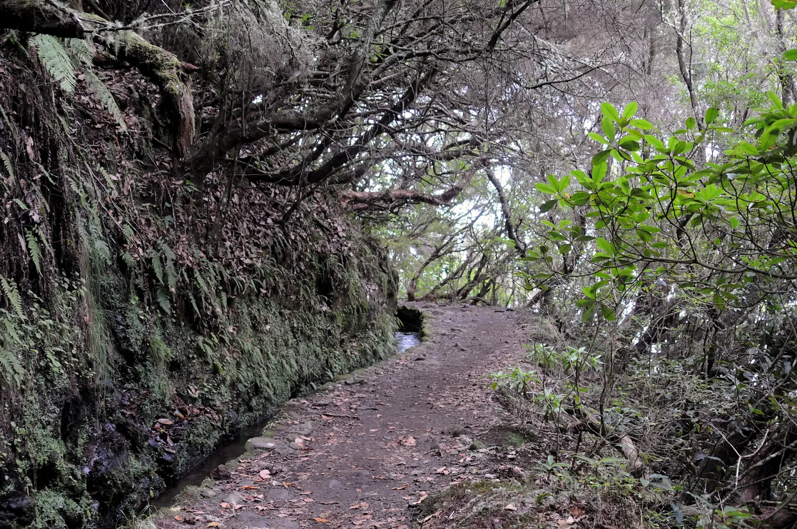
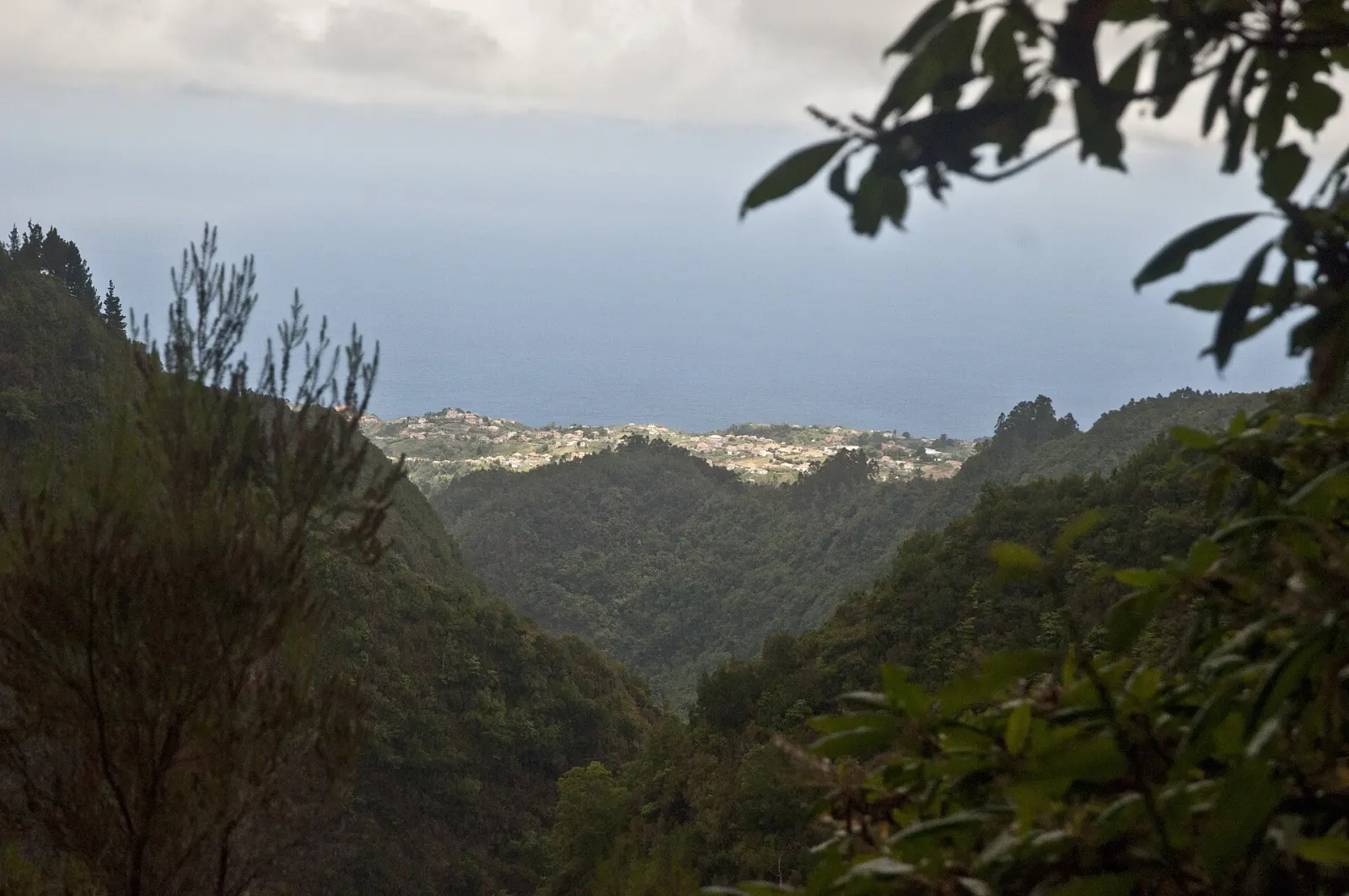
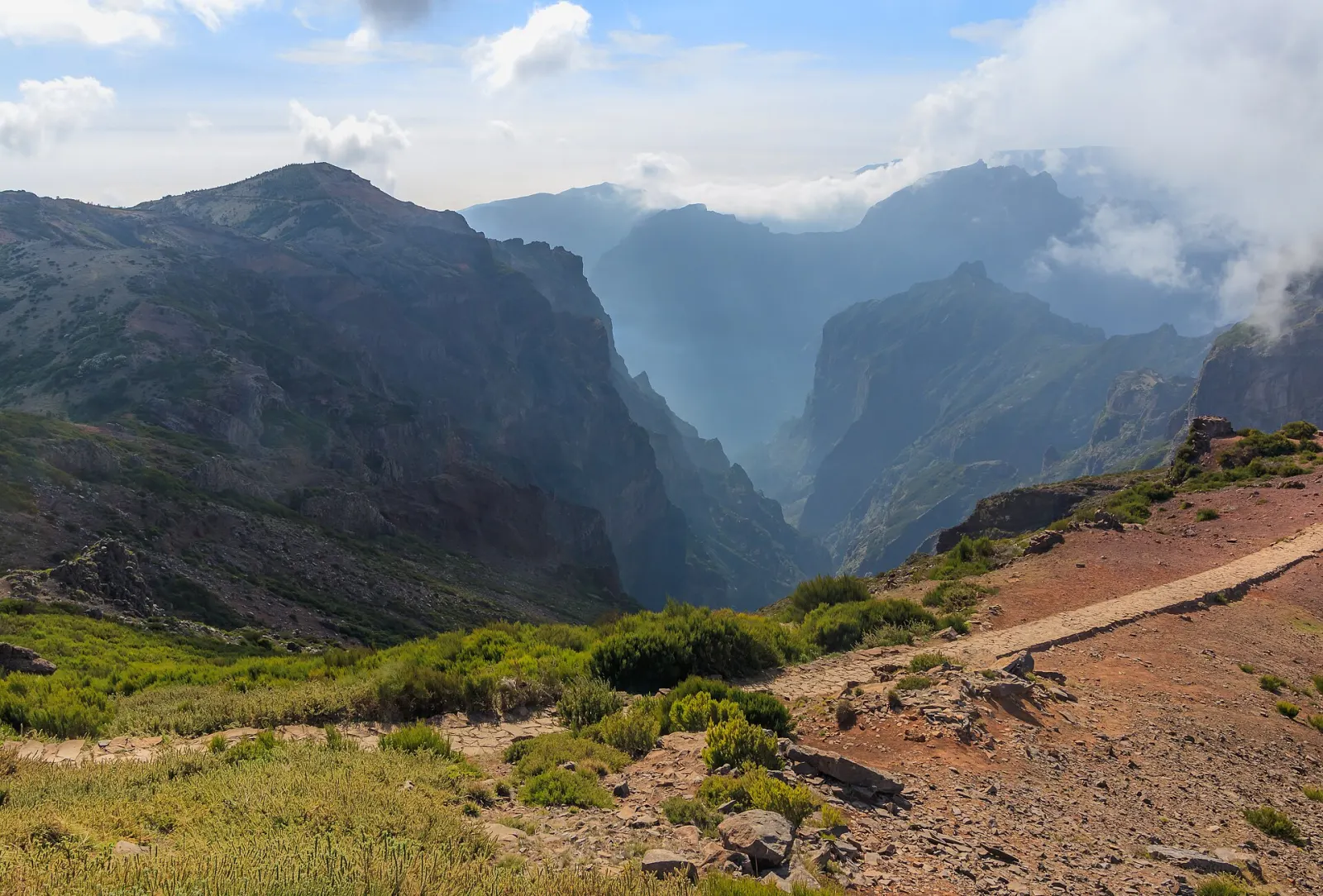
The Levada do Caldeirão Verde starts in the main bed of the Ribeira do Caldeirão Verde and carries water through the Laurissilva, a World Natural Heritage site since December 1999, to the farmland of the parish of Faial. The path follows the channel's narrow walkway, often with a steep drop on one side. After the four tunnels on the route, Caldeirão Verde appears on the left; a short scramble of a few metres up the stream bed leads to the pool.
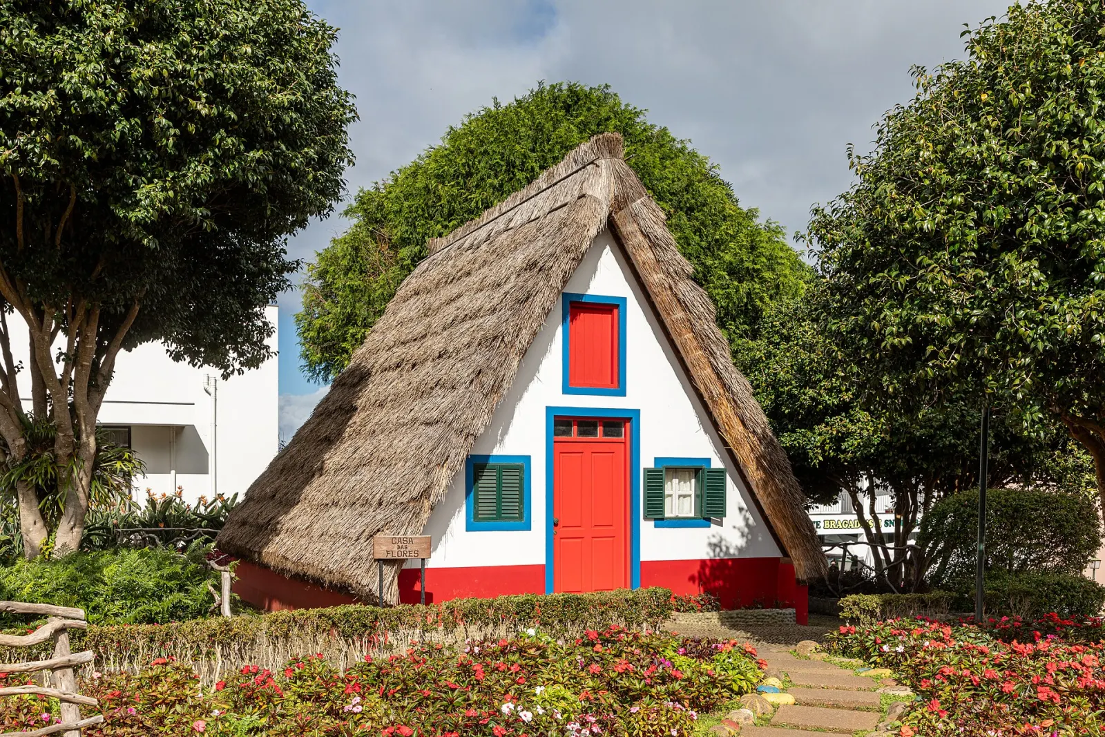
IFCN highlights a stand of the endemic elder Sambucus lanceolata near the lake and the Madeira laurel pigeon (Columba trocaz), a species found only on Madeira. Back at Queimadas, the Casa das Tradições Madeirenses keeps the triangular, thatched shape of the traditional Santana houses, the same style you can see at the Santana thatched houses.
Booking, fee and parking
PR 9 is in IFCN's paid time-slot system: book an entry slot on the SIMplifica portal. The 2026 fee for visitors is €4.50; children up to 12 and Madeira residents are exempt but must still register. IFCN does not refund or reschedule for rain or a change of plans, only if it closes or restricts the trail. Visit Madeira lists parking at Queimadas at €2.00 per hour, which adds up over a 6–7 hour day. More in our trail booking and fees guide.
How do you get to Queimadas?
The trailhead is the Queimadas Forest Park above Santana, reached by car. We could not verify a public bus to Queimadas itself: CAM route 801 Funchal / Santana (numbered 56 before March 2026) serves Santana town, and the IFCN panel lists Santana taxis on +351 291 572 540.
What do people commonly misjudge?
- Tunnels. IFCN asks walkers to carry a torch; a phone light is awkward on a wet, uneven floor.
- Vertigo. The IFCN panel warns of a risk of vertigo on exposed sections.
- Footwear. The path is often wet; IFCN recommends non-slip shoes.
- Time. The full out-and-back is a long day; start early so you finish well before dark.
Nearby trails
Vereda dos Balcões at Ribeiro Frio is a short, flat levada walk for a second day in the same part of the island. For another long waterfall levada in the west, compare Levada das 25 Fontes. More ideas for the north coast.
The route, step by step
- 1 Queimadas Forest ParkStart at the forest park above Santana, with parking (€2.00/hour per Visit Madeira), information panels and the thatched Casa das Tradições Madeirenses. PR 9.1 'Um Caminho para Todos' (1.9 km to Pico das Pedras) also starts here.
- 2 Along the levada walkwayThe path follows the narrow levada through laurel forest with a very gentle climb. Some sections have a steep drop on one side.
- 3 Four tunnelsSwitch on your torch. After the fourth tunnel you are close to Caldeirão Verde.
- 4 Caldeirão VerdeAt about 6.5 km the pool appears on the left, reached by climbing a few metres up the stream bed. The waterfall above it is about 110 m high.
- 5 Optional: Caldeirão do InfernoAbout 2,200 m more, with a steep climb and further tunnels, to a very narrow, deep gorge. This is the official end of PR 9 (8.7 km).
- 6 Return to QueimadasWalk back the same way along the levada.
Before you go
Make a day of it
Within 12 km of the trailhead.
Sources and fact-checking
Facts checked against the sources below on 28 October 2026. How we work
- IFCN — Classified walking routes: list, distances and current status (checked 2026-10-28)
- IFCN — PR 9 Levada do Caldeirão Verde official trail panel
- IFCN — FAQ: fees and bookings for classified walking routes (2026)
- Visit Madeira — PR 9 Levada do Caldeirão Verde
- SIGA — New bus route numbering in force from 9 March 2026 (PDF)
- IFCN / Governo Regional da Madeira — Levadas da Madeira, proposed UNESCO nomination booklet (construction dates)
Photos: Vimacopeca (CC BY-SA 4.0) · Josep M. Gracia (CC BY-SA 4.0) · cudi (CC BY 2.0)