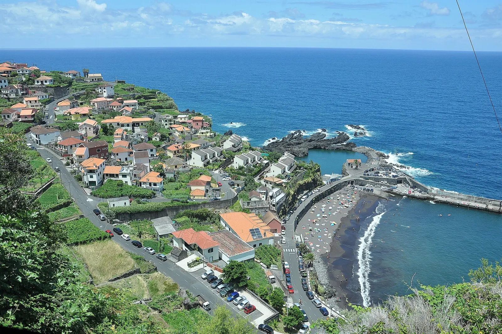
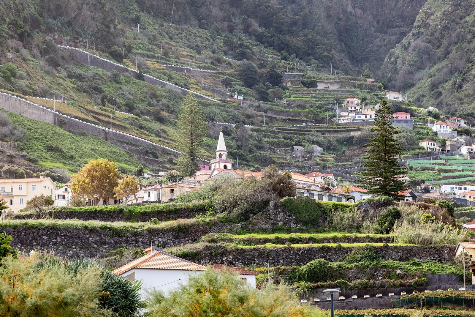
Madeira's north coast is the band of steep, green valleys and cliffs that runs through the municipalities of Porto Moniz, São Vicente and Santana. It is wetter and cloudier than the south, and that water is the reason it holds much of the island's UNESCO-listed laurel forest, the lava pools of Porto Moniz and Santana's thatched houses.
What defines the north coast?
Three municipalities make up the coast, from west to east:
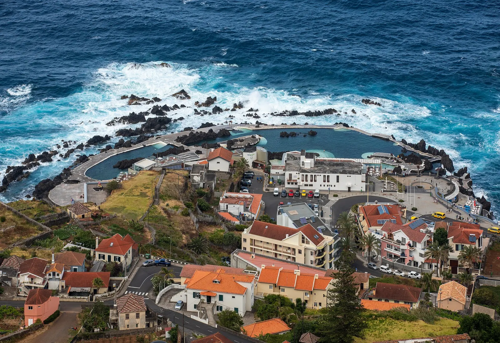
- Porto Moniz — four parishes (Achadas da Cruz, Porto Moniz, Ribeira da Janela and Seixal). It includes Ponta do Tristão, the island's northernmost point, and the natural lava pools that made the town known.
- São Vicente — three parishes (Boaventura, Ponta Delgada and São Vicente). The São Vicente volcanic caves are here, and the valley was settled later than the south because of its steep escarpments.
- Santana — the largest of the three at just under 100 km², with six parishes (Arco de São Jorge, Faial, Ilha, Santana, São Jorge and São Roque do Faial). Visit Madeira notes it has been designated a UNESCO Biosphere Reserve.
The laurel forest (laurissilva) covers about 15,000 ha, roughly 20% of Madeira, and is at its most extensive on this side of the island. It was inscribed as a UNESCO World Heritage Site in 1999.
What is there to do on the north coast?
- Swim in lava pools. The Porto Moniz natural pools are the region's best-known stop; a few kilometres east, Seixal beach is the other bathing stop on this stretch of coast.
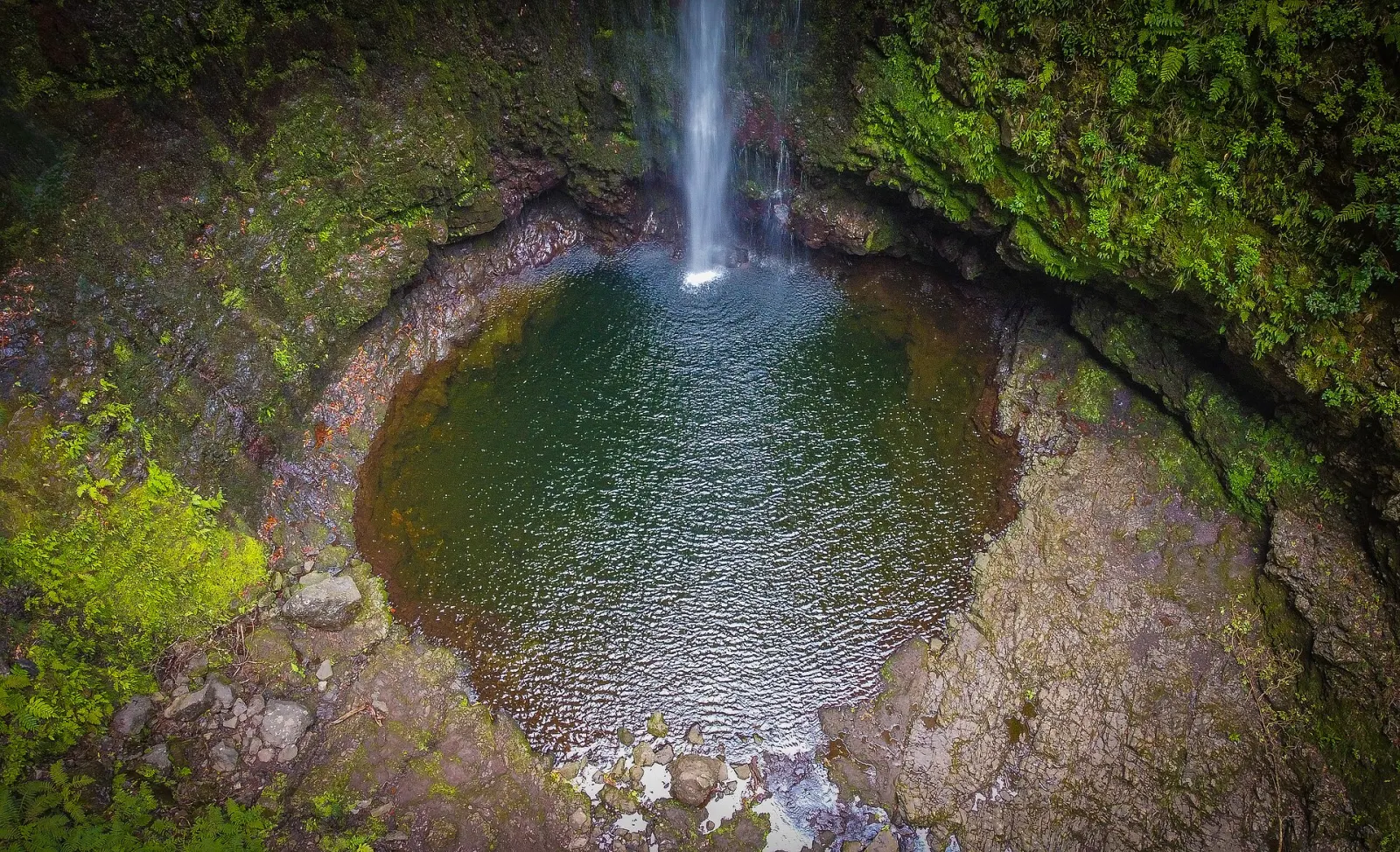
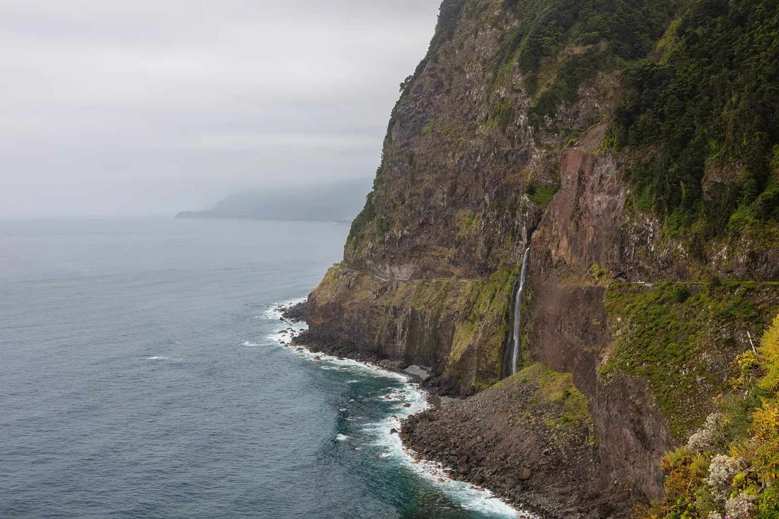
- Waterfalls and viewpoints. The Miradouro do Véu da Noiva looks across to the Véu da Noiva waterfall in the parish of Seixal. In Santana, the Cabanas viewpoint looks over Arco de São Jorge and, on clear days, Porto Santo.
- Levada walks in the forest. Levada do Caldeirão Verde (PR 9) starts at Queimadas, above Santana, and follows a levada through laurel forest. Santana is also the gateway to Achada do Teixeira, the start of the short route up Pico Ruivo, Vereda do Pico Ruivo (PR 1.2). All classified PR trails need a paid time-slot booking — see trail booking and fees.
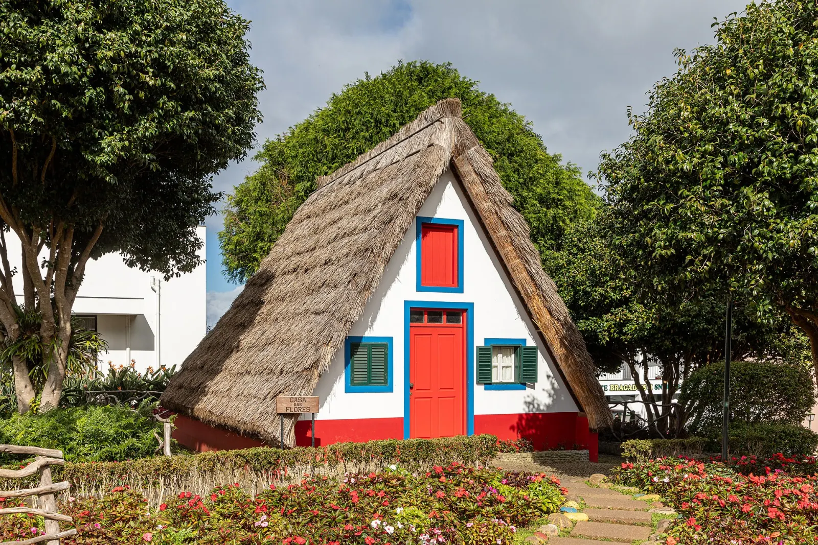
- Traditional houses. The Santana thatched houses are triangular, steep-roofed farm houses with white walls and red doors; most surviving ones are kept as visitor attractions, and the straw roofs are replaced every four to five years.
- Fanal. The misty laurel woodland of Fanal lies on the plateau above Seixal; we cover it with the West because the usual approach is via Paul da Serra.
What is the weather like on the north coast?
The north faces the prevailing moist air, so expect more cloud and rain than in Funchal. The Queimadas forest park above Santana, at 860 m, receives about 2,314 mm of rain a year, with November the wettest month (391 mm), and even its driest month, July, gets about 47 mm. Lower in the São Vicente valley there is a modest summer dry season. In practice: carry a rain layer on any forest walk, expect slippery levada paths after rain, and do not judge the north coast by the weather you see from Funchal.
How far is the north coast from Funchal?
Approximate road distances from central Funchal (OpenStreetMap routing): São Vicente about 33 km, Santana about 40 km, Seixal about 41 km and Porto Moniz about 50 km. Queimadas, the start of PR 9, is about 43 km.
Who is the north coast a good base for?
It suits hikers who want to be close to the laurel-forest levadas and Pico Ruivo, and travellers who prefer small villages, quiet evenings and a slower pace. It suits less well anyone who wants reliable sunshine and beach days, or who plans to rely on buses — distances between villages are long. A north-coast night also breaks up a round-the-island drive; see 7 days: the full island.