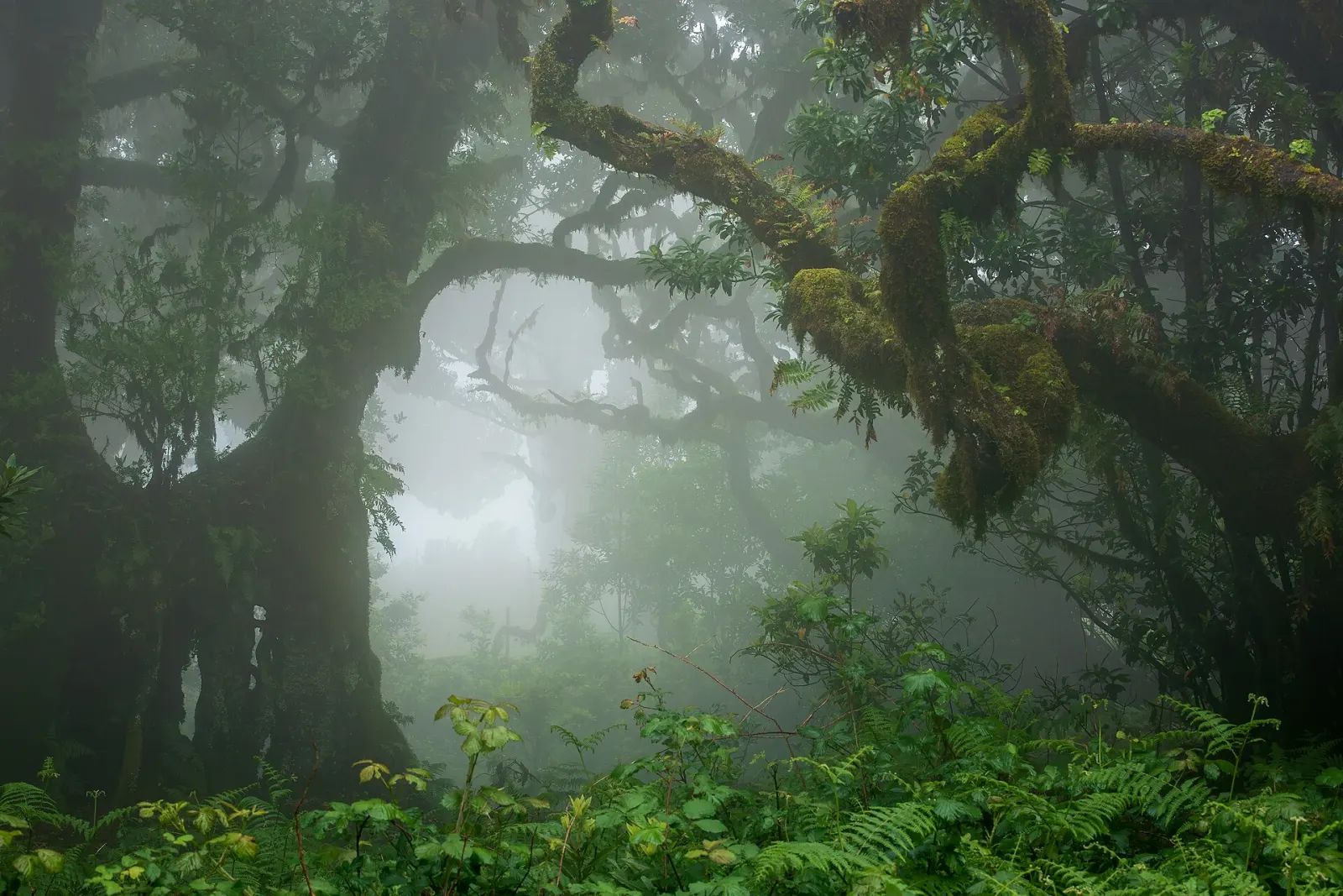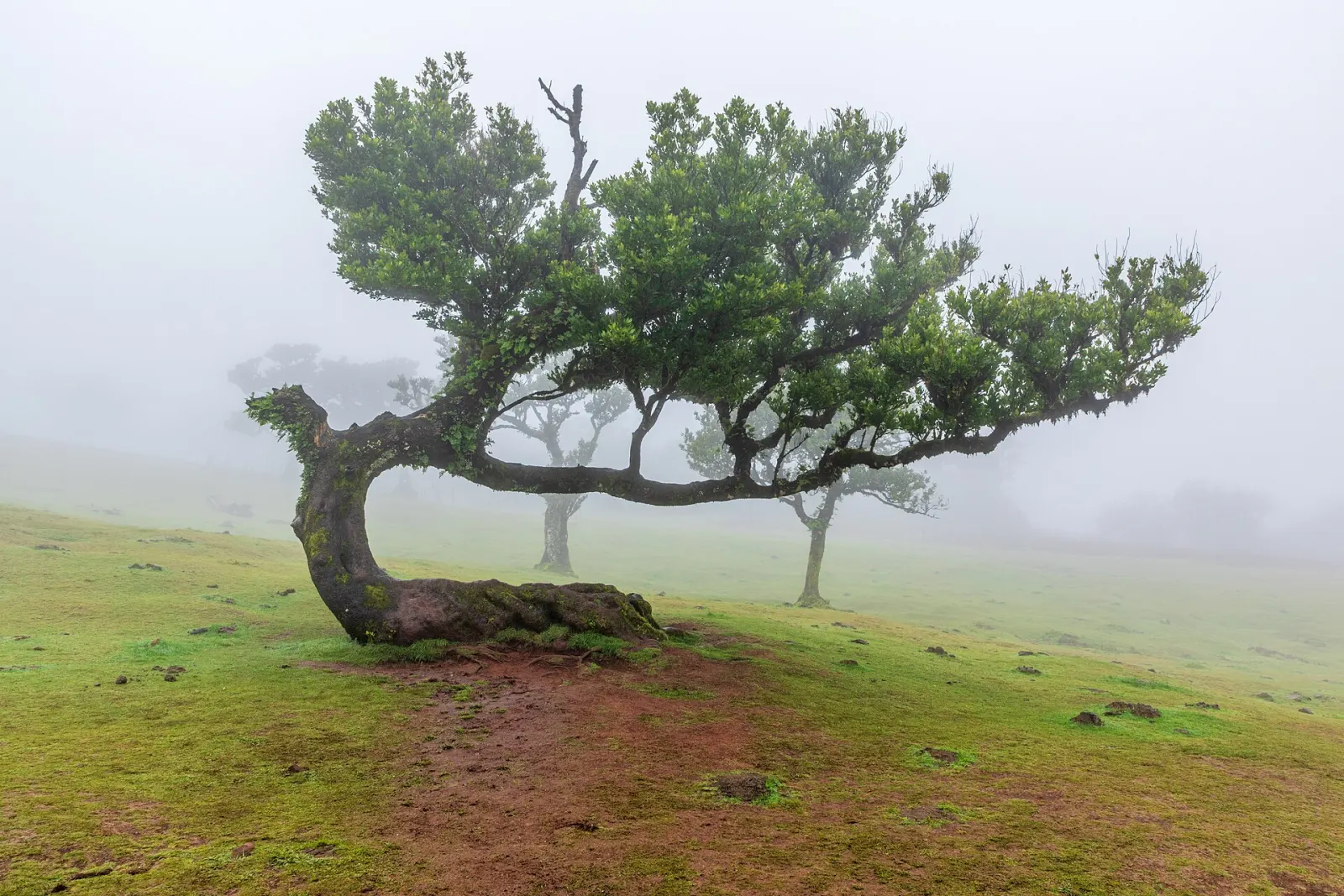
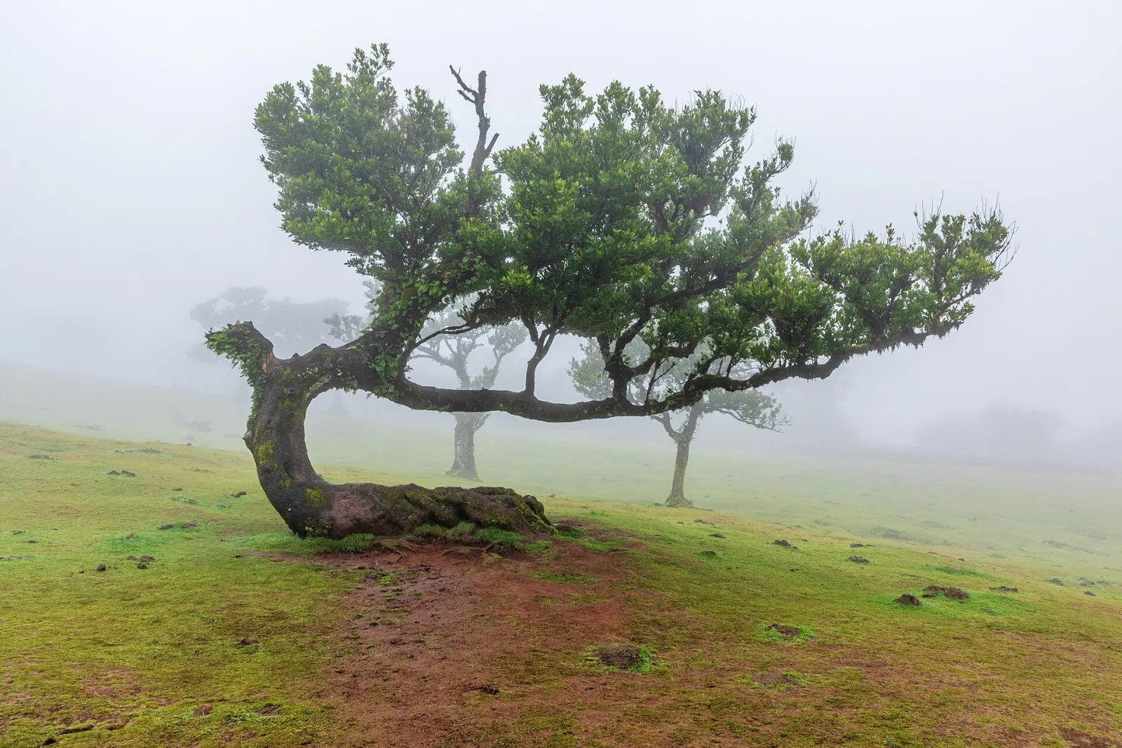
Fanal is an upland area of Madeira's laurel forest in the municipality of Porto Moniz, between the Ribeira da Janela valley and the Paul da Serra plateau. Its open, grassy slopes are dotted with centuries-old til trees (Ocotea foetens), and when cloud rolls in from the north, the fog turns it into one of the most photographed landscapes on the island.
What makes Fanal special?
Fanal is part of the Laurissilva of Madeira, inscribed as a UNESCO World Heritage Site in 1999. Visit Madeira notes that some of the til trees here are believed to predate the discovery of the island in the 15th century. Unlike the dense laurel forest of the steep northern valleys, the trees at Fanal stand spread out across pasture, so you can see their full, twisted shapes. The area lies within the Natura 2000 network, and the Madeira Natural Park classifies it as a Rest and Silence Reserve (Reserva de Repouso e Silêncio).
Why is it so often foggy?
Laurel forest depends on moisture: Wikipedia describes its trees as covered in mosses and lichens, growing in the humid north-facing slopes. At Fanal, cloud carried by the prevailing winds from the north meets the high ground and condenses into fog, which can arrive and clear within minutes. If you want the misty look, a day with low cloud on the north side is ideal; if you want views and sunshine, look for a clear forecast and go early.
How do you get to Fanal?
By car, on regional road ER 209, which runs from the Paul da Serra plateau to Fanal. Visit Madeira's map link places the forest post at 32.8097, −17.1409. There is no regular bus service that we could verify; this is a destination for a hire car or an organised tour.
Can you hike to Fanal?
Yes. The official PR 13 Vereda do Fanal ends here:
| Start | Paul da Serra (Assobiadores), ER 209 |
| End | Fanal, ER 209 |
| Distance | 10.8 km (linear) |
| Duration | about 4 hours |
| Difficulty | moderate |
| Altitude | 1,130 m to 1,420 m |
| Fee (2026) | €4.50 for walkers over 12, paid via the SIMplifica portal |
Along the way, at Sítio do Fio, you pass the remains of a cable system once used to send wood and brush from Fanal down to Chão da Ribeira and Seixal. The route finishes at a small volcanic crater. See the PR 13 trail guide and trail booking and fees. Visit Madeira also lists the PR 14 Levada dos Cedros in the area.
Practical and respectful visiting
- Fanal is a quiet reserve: keep noise down and do not fly drones without checking the rules for the Natural Park.
- Stay off the tree roots and do not climb the trees; the oldest specimens are fragile.
- It is cooler and damper than the coast. Bring a waterproof layer and expect wet grass.
- In thick fog, visibility on the road drops sharply; drive slowly.
Nearby
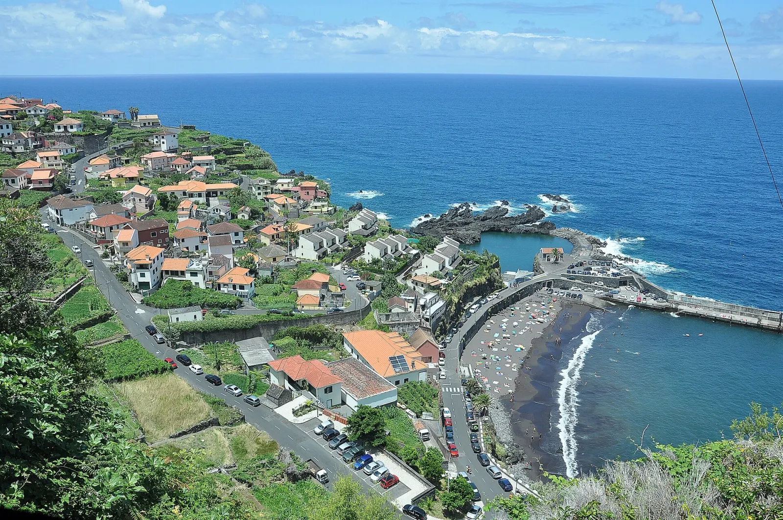
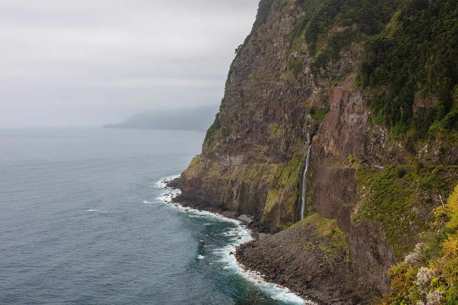
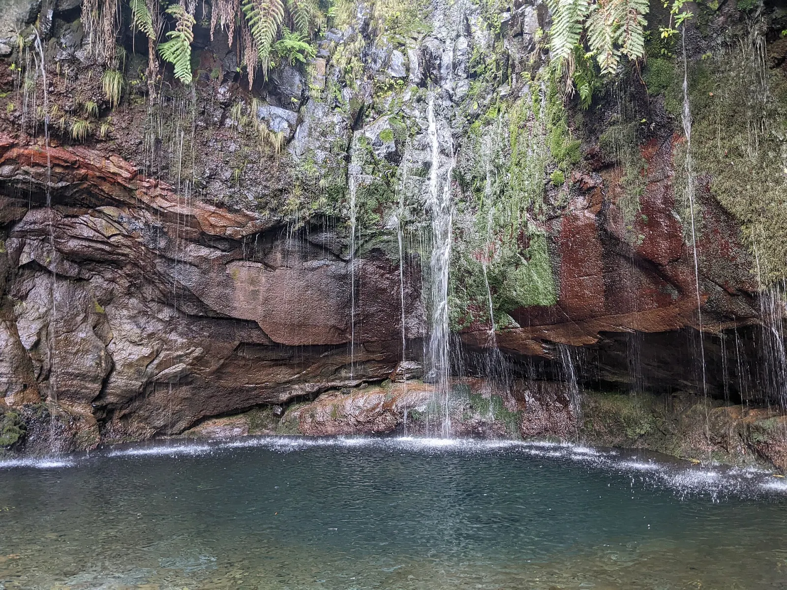
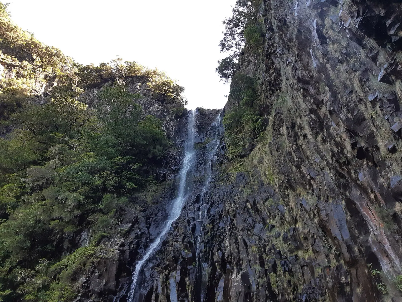
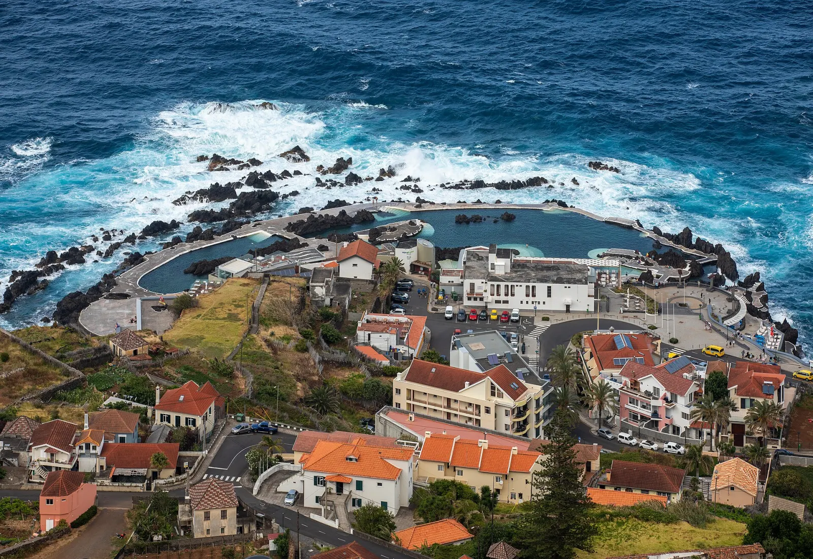
Fanal is a natural detour on a day exploring the north-west. Combine it with the Véu da Noiva viewpoint and a swim at the Porto Moniz natural pools, or with the Paul da Serra trails such as Levada das 25 Fontes. More in the west region guide.