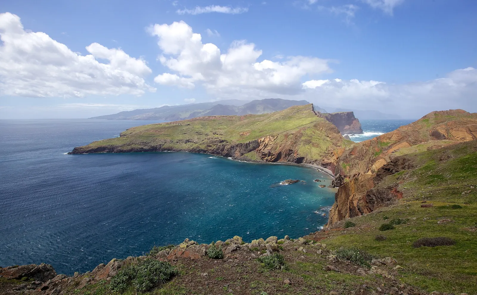
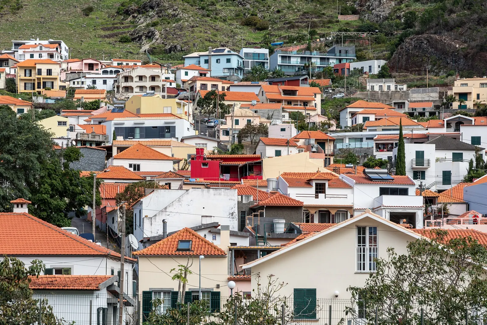
Madeira's east is made up of two municipalities, Machico and Santa Cruz, and ends at Ponta de São Lourenço, the island's easternmost point. It is where Portuguese navigators first landed in 1419, where the international airport is, and where the landscape shifts from green hills to a dry, wind-shaped headland with almost no trees.
What defines the east of Madeira?
- Machico. The easternmost municipality and the third most populous on the island. João Gonçalves Zarco and Tristão Vaz Teixeira came ashore on Machico's beach in 1419, and in 1440 Tristão Vaz received the Captaincy of Machico, the first in the archipelago. Sugar cane was grown and processed here from the 15th century. Visit Madeira gives the distance from Funchal as about 22 km.
- Caniçal. A parish of Machico and the last village on the road to the headland, with Prainha just beyond it.
- Ponta de São Lourenço. The narrow headland at the eastern tip has been a nature reserve since 1982. Its terrain is rock and low herbaceous vegetation, with endemic plants such as Matthiola maderensis and Echium nervosum; the geology is pyroclastic rock cut by basalt dykes. The headland and its islets are an Important Bird Area for seabirds, and the lighthouse stands on Ilhéu do Farol. Porto Santo lies to the north-east and the Desertas to the south-east.
- Santa Cruz. The second most populous municipality, about 18 km from Funchal, with five parishes: Camacha, Caniço, Gaula, Santa Cruz and Santo António da Serra. Cristiano Ronaldo Madeira International Airport is here, so for most visitors this is their first view of the island.
What is there to do in the east?
- Walk to the end of the island. Vereda da Ponta de São Lourenço (PR 8) crosses the headland towards its eastern tip. It is a classified trail that needs a paid time-slot booking — see trail booking and fees. With low vegetation, there is almost no shade.
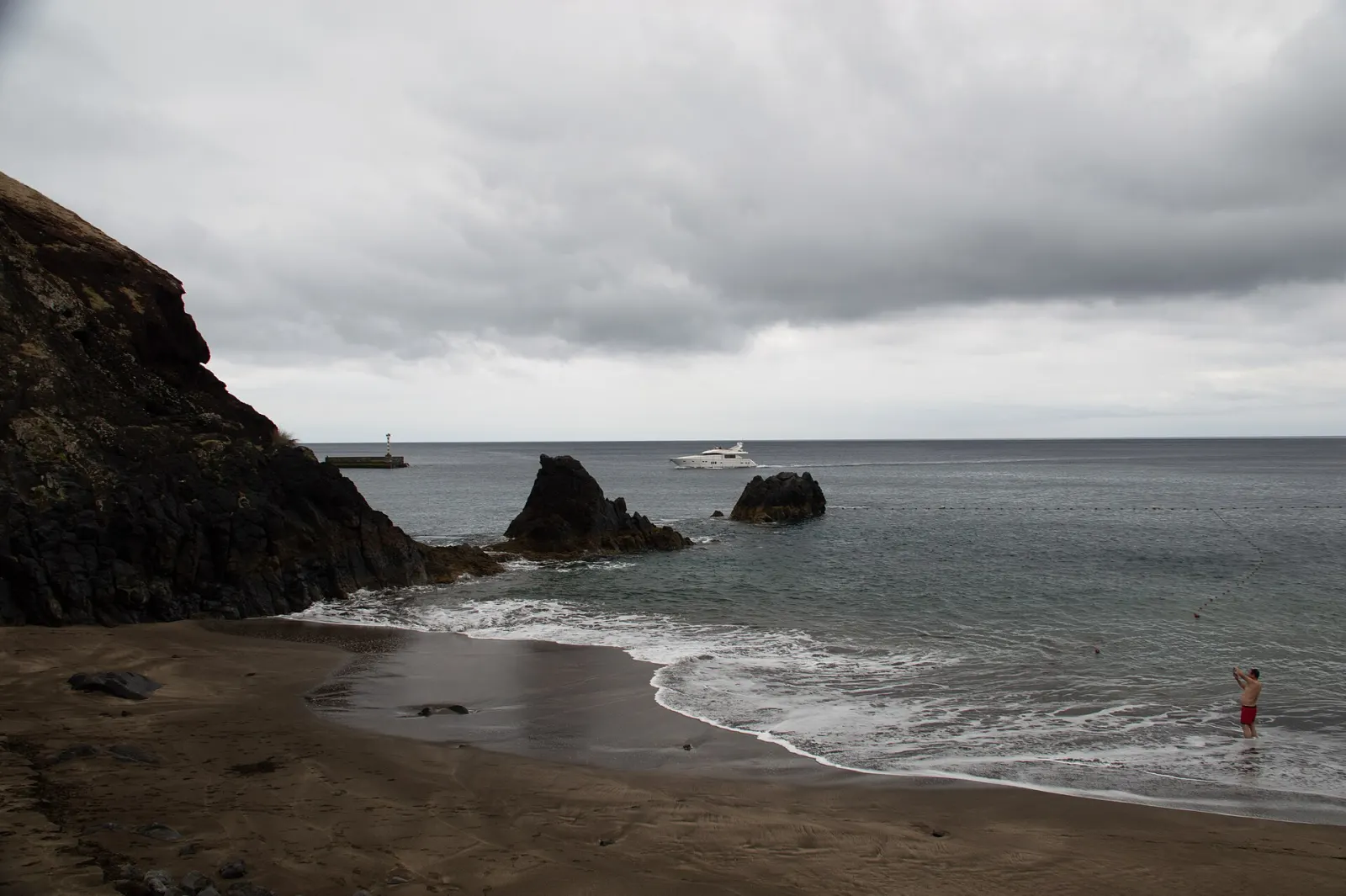
- Swim at Prainha. Prainha do Caniçal is a small beach near the start of the headland, a natural stop after the walk.
- Snorkel or dive at Garajau. The Garajau marine reserve, on the coast of Caniço in Santa Cruz, is a protected marine area just east of Funchal.
- Machico's bay and history. The town keeps the landing site, its parish church and the Capela dos Milagres, all a short walk from the bay.
- Into the hills. Santo António da Serra and Camacha sit inland at altitude; from there, the Mountains and the Vereda dos Balcões at Ribeiro Frio are within reach.
What is the weather like in the east?
Visit Madeira describes the east as ranging from dense forest in the hills to arid landscapes near the headland. On Ponta de São Lourenço that means exposure: little shade, strong sun on clear days and nothing to block the wind. Take water, sun protection and a windproof layer, and walk PR 8 early or late in the day in summer.
The airport's position also has a practical side: Madeira Airport is known for closures in high winds, which can divert flights — on those days flights are sometimes sent to Porto Santo, according to Wikipedia. Allow slack in your plans around arrival and departure days.
How far is the east from Funchal?
The airport is about 18 km from Funchal and Machico about 22 km (Visit Madeira). By road, Caniçal is about 29 km from central Funchal (OpenStreetMap routing), with the PR 8 car park a little further east.
Who is the east a good base for?
The east suits travellers on short stays or early flights who want to be near the airport, walkers who want to start PR 8 at first light before the heat and crowds, and anyone who prefers a town base by the sea away from Funchal. It is further from the west and the Rabaçal trails, so it suits less well those planning several days on that side of the island. See 3 days: the essentials for a short plan that includes PR 8.